logo

1773. A Map of England and Wales from the latest Authorities and Observations

  • A Map of England and Wales from the latest Authorities and Observations

A Map of England and Wales from the latest Authorities and Observations information:

Year of creation: 
Resolution size (pixels): 
 2204x1712 px
Disk Size: 
 1006.33KiB
Number of pages: 
 1
Place: 
 London
Author: 

Print information. Print size (Width x height in inches):
Printing at 72 dpi 
  30.61 х 23.78
Printing at 150 dpi 
 14.69 х 11.41
Printing at 300 dpi 
 7.35 х 5.71

An example of detailing the file of this map of in a printable high-resolution:

Click to open in high resolution (open in new tab).
Attention! this is just the central piece (central area 960x960 px) of the map file!
This is an example, so that you can see and study the level of detail of a given map. The entire Map will be fully available after payment!

A Map of England and Wales from the latest Authorities and Observations

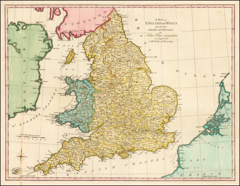
Gorgeous large format map of the England and Wales.

Includes a decorative compass rose.

From John Blair's Chronology and History of the World, first published in 1754.


Special conditions for students!

If you are a student, write to us in telegram: @antiquemaps and indicate what material you need and for what work you need a map in high detail. We are ready to provide material on special terms. For students only!

Item information:

Year of creation:
Size:
2204x1712 px
Disk:
1006.33KiB
Number of pages:
1
Place:
London
Author:
John Blair.
$9.99

Related item