Map size in jpg-format: 40.5816MiB
Click to open in high resolution (open in new tab).
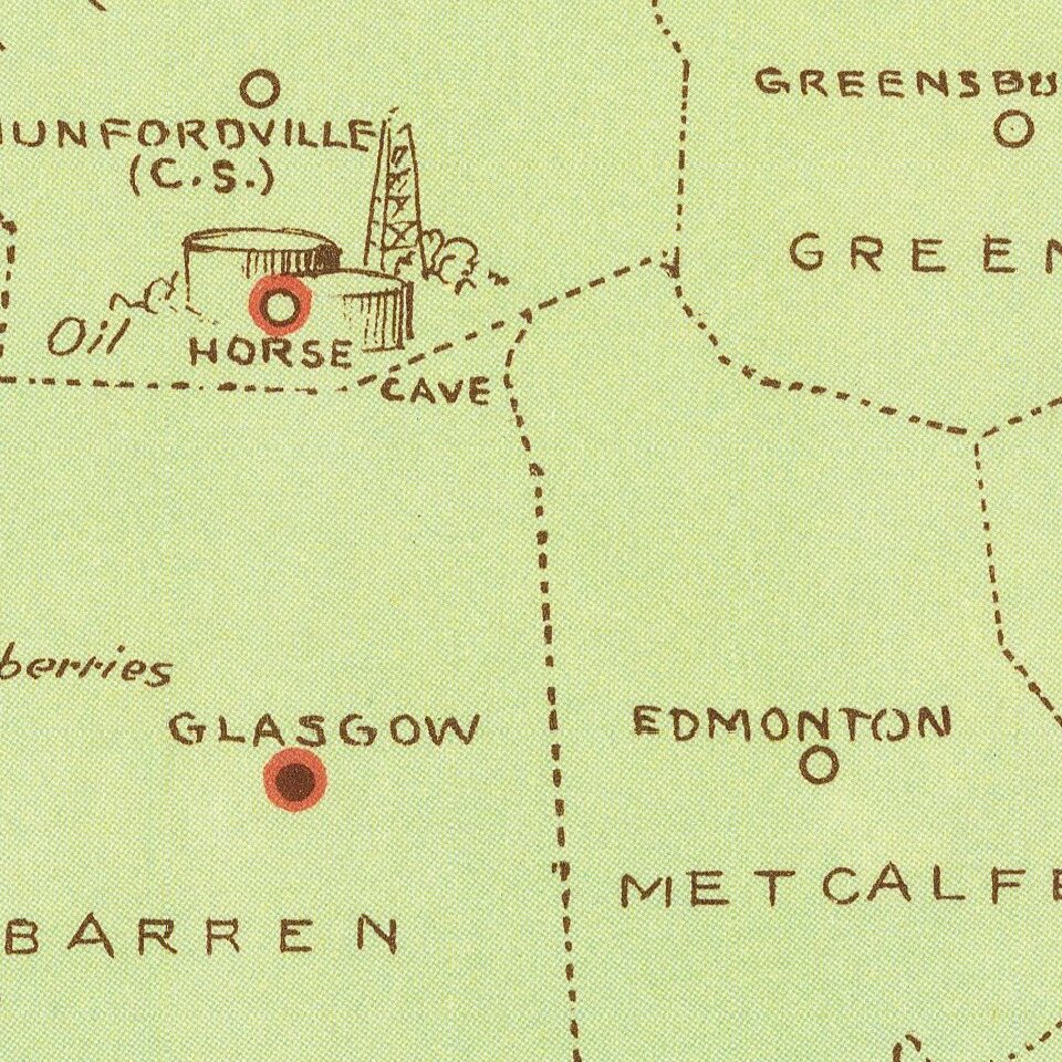
Scarce vintage pictorial map of Kentucky, celebrating the state's agricultural industries, produced by Karl Smith, one of the 1930s' prominent makers of state pictorial maps.
The map features an exhaustive list of Kentucky's 120 counties at the time, with details of "Assessed Valuation" and "Bank Deposits" along with the county's primary products.
The map color-codes regions by color:
Karl Smith also produced this map of Kentucky in 1942.
Smith was a prolific illustrator and did maps of subjects outside of Kentucky, but was based in the state.
If you are a student, write to us in telegram: @antiquemaps and indicate what material you need and for what work you need a map in high detail. We are ready to provide material on special terms. For students only!