Map size in jpg-format: 28.1409MiB
Click to open in high resolution (open in new tab).
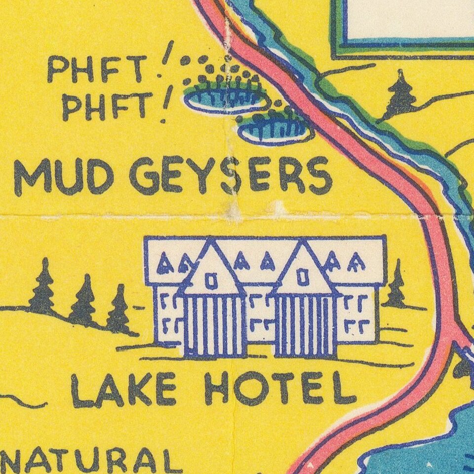
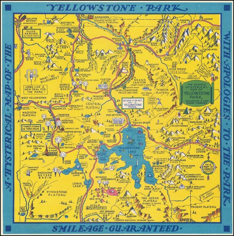
"Hatched & Scratched by Jolly Lindgren," this comic pictorial map is full of puns and comic vignettes related to Yellowstone and environs.
The Lindgren Brothers issued a number of other silly whimsical maps of national parks and other parts of the West.
This is the second edition of the Lindgren Brothers map of Yellowstone, the first being issued in 1934. The first edition is quickly recognizable by the sun and cloud image at the top left, which is not on the second edition. There are many other changes.
If you are a student, write to us in telegram: @antiquemaps and indicate what material you need and for what work you need a map in high detail. We are ready to provide material on special terms. For students only!