Map size in jpg-format: 27.5928MiB
Click to open in high resolution (open in new tab).
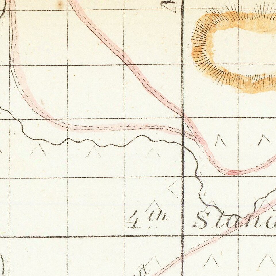
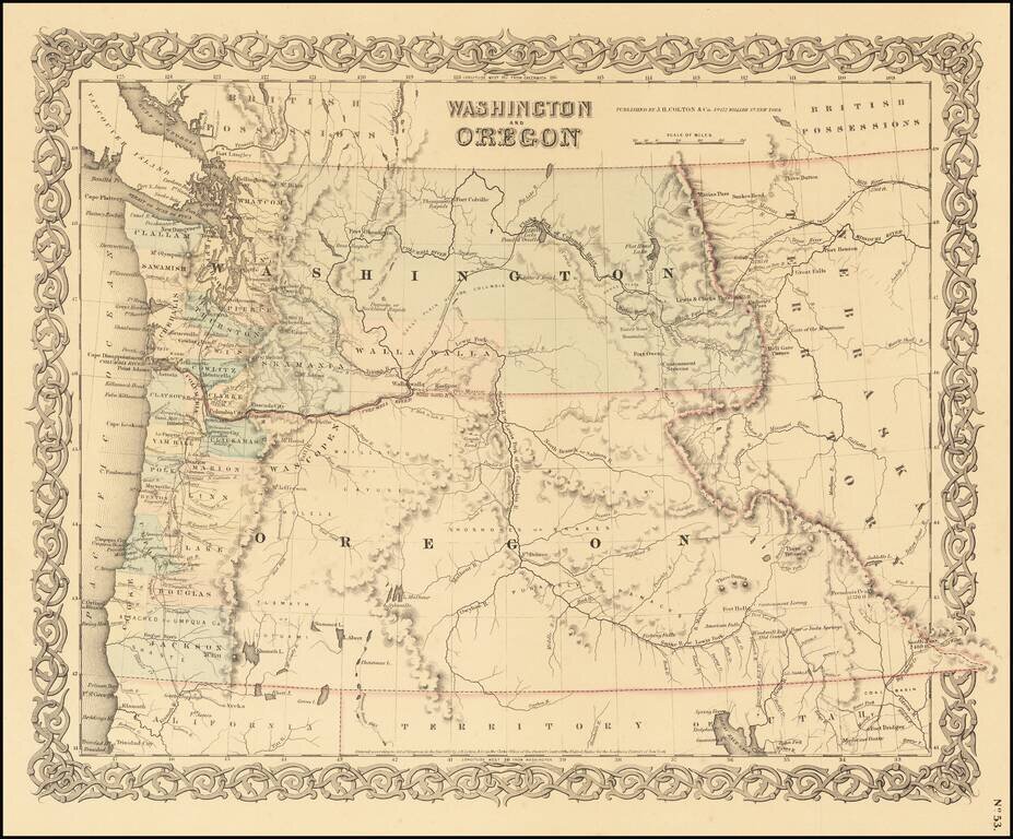
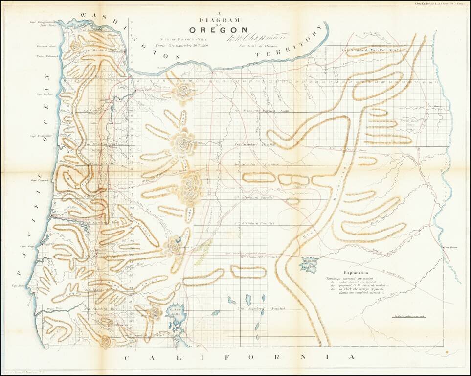
One of the earliest obtainable maps showing the progress of the public surveys in the State of Oregon.
The map includes townships surveyed to 1863, towns, early roads, topographical details, Fort Boise, Mountains and other details.
If you are a student, write to us in telegram: @antiquemaps and indicate what material you need and for what work you need a map in high detail. We are ready to provide material on special terms. For students only!