logo

1751. A Correct Map of Scotland from new Surveys. By James Dorret, Land Surveyor.

  • A Correct Map of Scotland from new Surveys. By James Dorret, Land Surveyor.

A Correct Map of Scotland from new Surveys. By James Dorret, Land Surveyor. information:

Year of creation: 
Resolution size (pixels): 
 14753x18717 px
Disk Size: 
 46.9777MiB
Number of pages: 
 1
Place: 
 London
Author: 

Print information. Print size (Width x height in inches):
Printing at 72 dpi 
  204.9 х 259.96
Printing at 150 dpi 
 98.35 х 124.78
Printing at 300 dpi 
 49.18 х 62.39

An example of detailing the file of this map of in a printable high-resolution:

Click to open in high resolution (open in new tab).
Attention! this is just the central piece (central area 960x960 px) of the map file!
This is an example, so that you can see and study the level of detail of a given map. The entire Map will be fully available after payment!

A Correct Map of Scotland from new Surveys. By James Dorret, Land Surveyor.

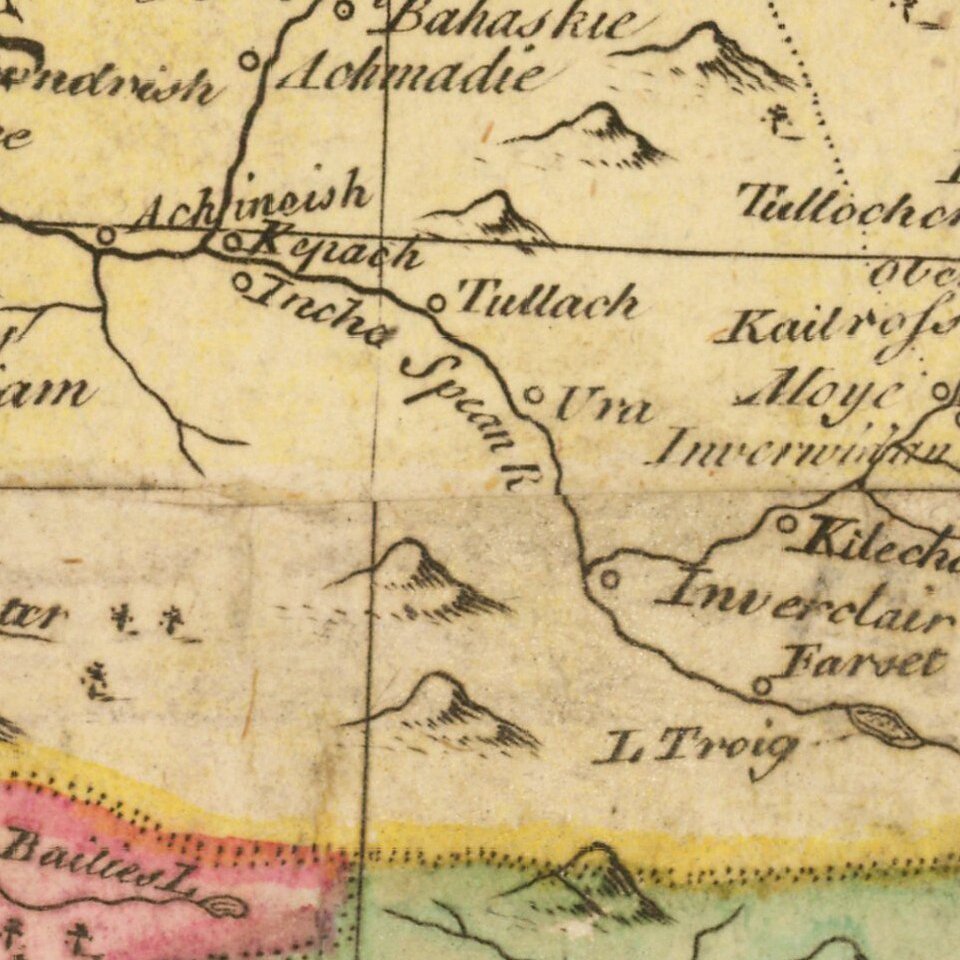
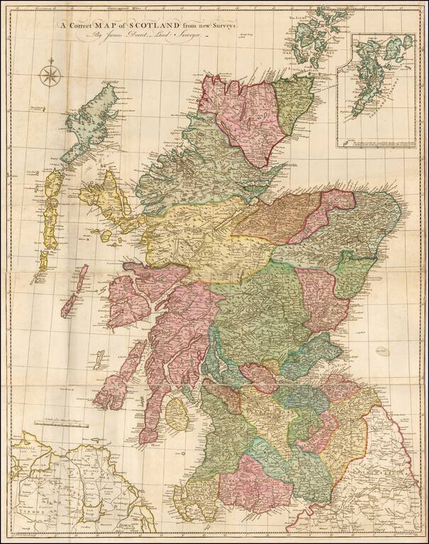
Finely executed map of Scotland, based upon James Dorret's General Map of Scotland . . . , issued in 1750.

Dorret's map of Scotland was the standard depiction of Scotland for the next 40 years, used by the likes of Thomas Kitchin, Marcus Armstrong, and Robert Campbell.

Dorret utilzed the work from William Roy's Military Survey of Scotland, along with other contemporary sources, includng Dorret's own estate survey for the Duke of Argyll.


Special conditions for students!

If you are a student, write to us in telegram: @antiquemaps and indicate what material you need and for what work you need a map in high detail. We are ready to provide material on special terms. For students only!

Item information:

Year of creation:
Size:
14753x18717 px
Disk:
46.9777MiB
Number of pages:
1
Place:
London
Author:
James Dorret.
$14.99

Related item