
Map size in jpg-format: 13.7786MiB
Click to open in high resolution (open in new tab).

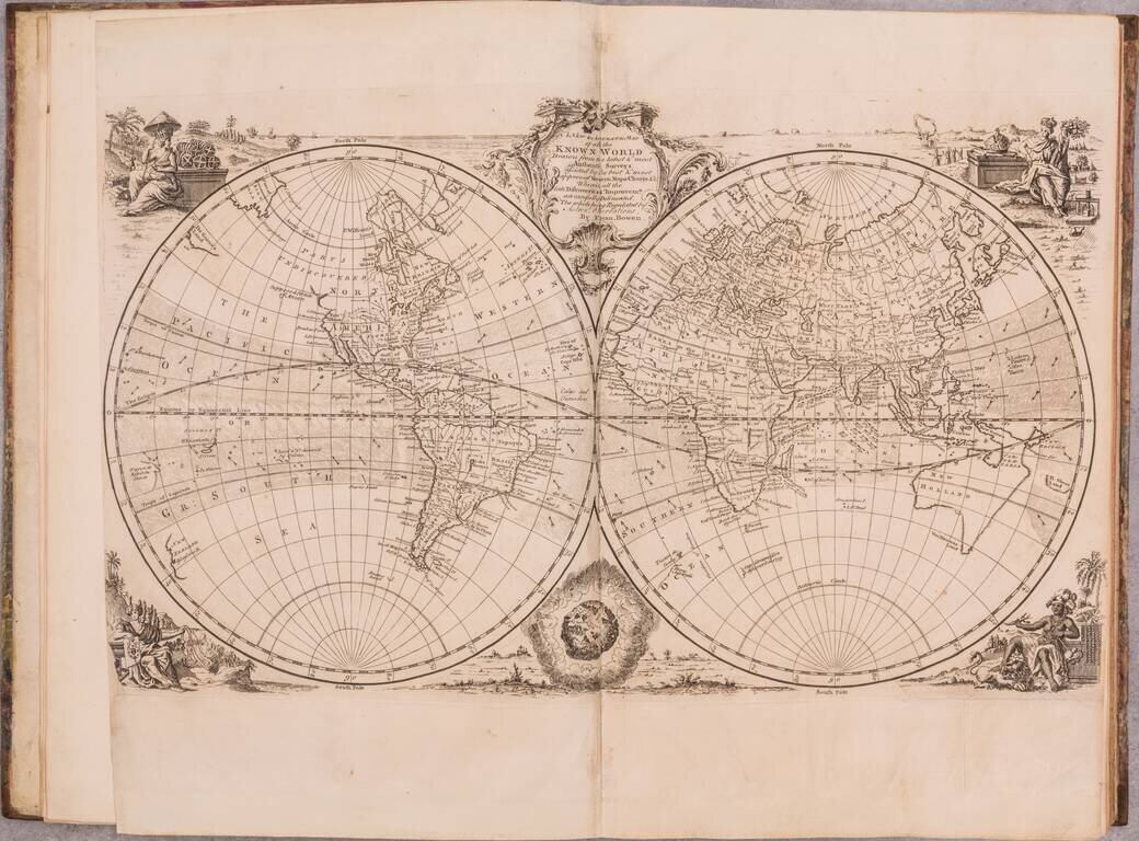
A wonderful example of this mid-18th century English atlas featuring a wide range of maps by Emanuel Bowen, published by him in London in 1752.
Most of the maps feature Bowen's characteristic English Rococo cartouches and careful engraving.
Perhaps the maps of most interest are those of the present-day United States, in this case, made just before the French and Indian War. These include:
An Accurate Map of the West Indies. Drawn from the best Authorities assisted by the most approved modern Maps and charts, and Regulated by Astronomical Observations...
A New & Accurate Map of Mexico or New Spain together with California New Mexico &c... (with the small inset map of the Galapagos)
A New & Accurate Map of Louisiana, with Part of Florida and Canada, and the Adjacent Countries Drawn from Surveys, assisted by the most approved English & French Maps & Charts.
A New & Accurate Map of the Provinces of North & South Carolina Georgia &c.
A New and Accurate Map of Virginia & Maryland Laid Down from Surveys and Regulated by Astronl. Observations.
A New and Accurate Map of New Jersey, Pensilvania, New York and New England with adjacent Countries Drawn from Surveys, assisted by the most approved Modern Maps & Charts...
A New & Accurate Map of the Islands of Newfoundland, Cape Briton, St. John and Anticosta...
Particular Draughts and Plans of some of the Principal Towns and Harbours belonging to English, French, and Spaniards, in America...
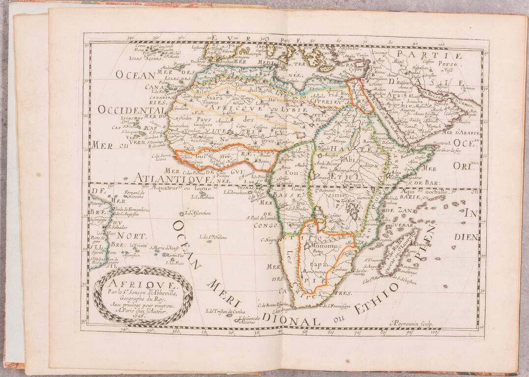
The atlas also includes a series of regional maps of Africa, including one which has been recognized as being of greater importance recently, namely, A New & Accurate Map of Negroland and the Adjacent Countries...
This set of maps (or smaller series of some of the plates) was issued under different title from the 1740s onward. This title is rare, appearing only twice for sale in the last 100 years, according to RBH.
If you are a student, write to us in telegram: @antiquemaps and indicate what material you need and for what work you need a map in high detail. We are ready to provide material on special terms. For students only!
![[Blaeu Atlas of America] America, Quae Est Geographiae Blavianae Pars Quinta Liber Unus Volumen Undecimum](/map/small/66852.jpg)