Map size in jpg-format: 17.6805MiB
Click to open in high resolution (open in new tab).
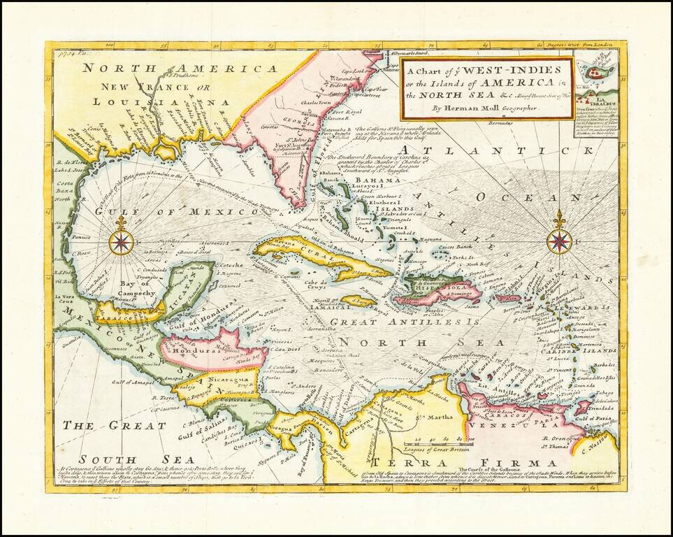
Detailed map designed to show the theater of war for the War of Jenkins's Ear.
The War of Jenkins Ear got its name from an event that occurred in 1731, when Robert Jenkins, the captain of the Rebecca, was captured in the West Indies by the Spanish. He claimed that his crew was mistreated, and that he was tortured, threatened with death, and his ear cut off.
At the time there was not much interest in his plight. However, later in the decade, the situation deteriorated between Spain and England. Spain objected to the English logging wood from their territory of Honduras, and the English were upset that the Spanish were limiting their access to the slave trade in the West Indies, access supposedly guaranteed by treaty. This friction was aggravated by a continuing dispute over the border between Spanish Florida and Georgia. In 1739, these issues were debated in Parliament and Jenkins's preserved ear was prominently exhibited, causing such a public uproar that Prime Minister Walpole was forced to declare war on Spain in October, 1739.
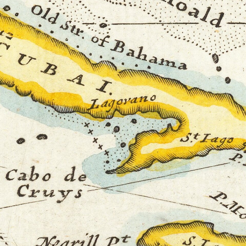
A classic example of Moll's fine engraving work. The map shows various sea routes, prevailing currents and other interesting features.
There is an earlier state of the map that does not include the reference to the war, nor the inset of Vera Cruz, nor many of the other annotations included in this state.
Herman Moll (c. 1654-1732) was one of the most important London mapmakers in the first half of the eighteenth century. Moll was probably born in Bremen, Germany, around 1654. He moved to London to escape the Scanian Wars. His earliest work was as an engraver for Moses Pitt on the production of the English Atlas, a failed work which landed Pitt in debtor's prison. Moll also engraved for Sir Jonas Moore, Grenville Collins, John Adair, and the Seller & Price firm. He published his first original maps in the early 1680s and had set up his own shop by the 1690s.
Moll's work quickly helped him become a member of a group which congregated at Jonathan's Coffee House at Number 20 Exchange Alley, Cornhill, where speculators met to trade stock. Moll's circle included the scientist Robert Hooke, the archaeologist William Stuckley, the authors Jonathan Swift and Daniel Defoe, and the intellectually-gifted pirates William Dampier, Woodes Rogers and William Hacke. From these contacts, Moll gained a great deal of privileged information that was included in his maps.
Over the course of his career, he published dozens of geographies, atlases, and histories, not to mention numerous sheet maps. His most famous works are Atlas Geographus, a monthly magazine that ran from 1708 to 1717, and The World Described (1715-54). He also frequently made maps for books, including those of Dampier’s publications and Swift’s Gulliver’s Travels. Moll died in 1732. It is likely that his plates passed to another contemporary, Thomas Bowles, after this death.
If you are a student, write to us in telegram: @antiquemaps and indicate what material you need and for what work you need a map in high detail. We are ready to provide material on special terms. For students only!


