Map size in jpg-format: 3569190B
Click to open in high resolution (open in new tab).
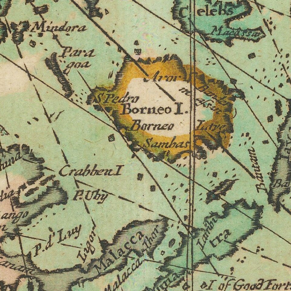
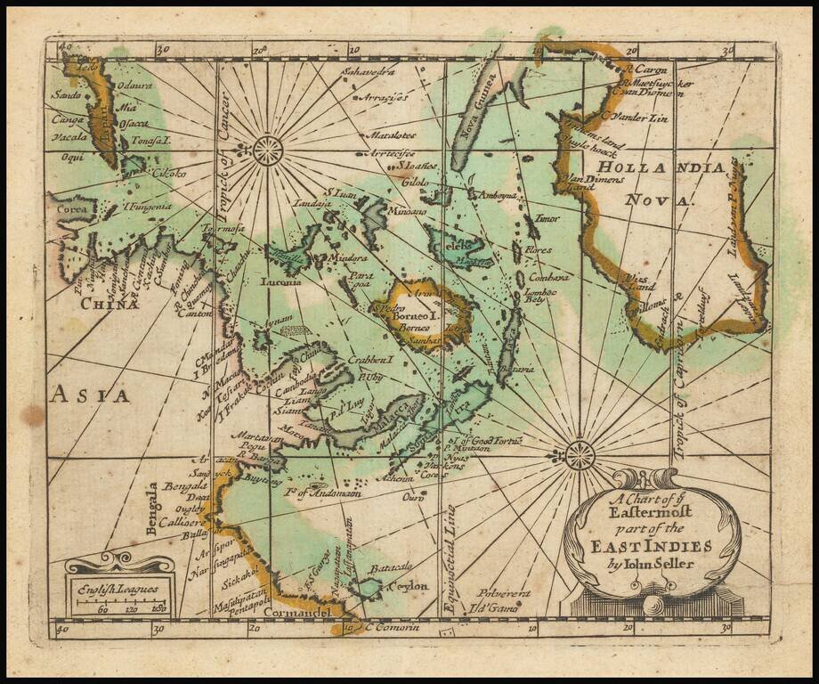
Extremely rare English map of the East Indies and Australia, oriented with the East at top of the map.
The map covers the East Indies from India to Japan in the north and New Guinea and Australia in the south. Australia is named Hollandia Nova and shows discoveries up to Abel Tasman.
The following toponyms can be found in the Philippines: "Manilla", "Mindora", "Tandaja", "S Iuan", "Minoano", "Paragoa", and "Luconia".
The map showed up exclusively in Seller's extremely rare miniature sea atlases, first with the Atlas Maritimus (1682) and then with the Hydrographia universalis, or a book of maritime charts, describing the sea coasts, islands and principal harbours, in all the known parts of the world / by John Seller. [London, circa 1690-1695].
If you are a student, write to us in telegram: @antiquemaps and indicate what material you need and for what work you need a map in high detail. We are ready to provide material on special terms. For students only!
![[Signed Political Satire Artwork] Vietnam ... Vietnam ... Vietnam ...](/map/small/68726.jpg)
![[Martin Behaim Globe / Book] Pars Globi terrestris Ao. 1492 a Martino Behaim Equite Lusitano Norimbergae confecti Delineavit Christoph. Theoph de Murr 1778 (bound with:) Diplomatische Geschichte des Portugesischen berühmten Ritters Martin Behaims](/map/small/68828.jpg)
![Il Disegno Della Terza Parte Dell' Asia [Gastaldi's Wall Map of SE Asia with extra panels!]](/map/small/30554hbp.jpg)