Map size in jpg-format: 1.05655MiB
Click to open in high resolution (open in new tab).
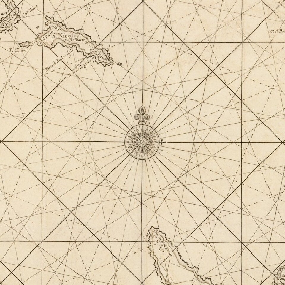
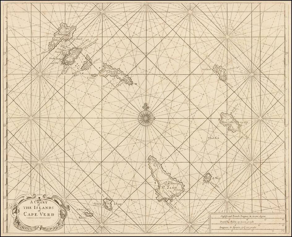
Nice example of Mount & Page's sea chart of the Cape Verde Islands, which appeared in the English Pilot, Book I.
Located in the South Atlantic some 300 miles west of Africa, the Cape Verde archipelago was discovered by the Portuguese in 1460. The group consists of ten volcanic islands. Its capital city, Praia, is on San Tiago (St. Jago on the map). For early mariners, the Cape Verdes were an important waystation on ocean crossings as a source of fresh food and water.
The map was first issued by John Seller, circa 1680 and issued with revisions thereafter.
If you are a student, write to us in telegram: @antiquemaps and indicate what material you need and for what work you need a map in high detail. We are ready to provide material on special terms. For students only!

![[Ascension Island] The True Description of the Island of Ascention lyeing under 8 degrees on ye South syde of ye Equinoctiall lyne.](/map/small/69468.jpg)