logo

1954. A Bird's Eye View of the Central Portion of Virginia City Storey County, Nevada Showing Saloon, Churches, Gambling Halls, Schools, Theatres, Municipal Buildings, Mansions and other Points of Interest . . . MCMLIV

  • A Bird's Eye View of the Central Portion of Virginia City Storey County, Nevada Showing Saloon, Churches, Gambling Halls, Schools, Theatres, Municipal Buildings, Mansions and other Points of Interest . . . MCMLIV

A Bird's Eye View of the Central Portion of Virginia City Storey County, Nevada Showing Saloon, Churches, Gambling Halls, Schools, Theatres, Municipal Buildings, Mansions and other Points of Interest . . . MCMLIV information:

Year of creation: 
Resolution size (pixels): 
 11823x9158 px
Disk Size: 
 31.1272MiB
Number of pages: 
 1
Place: 
 Reno

Print information. Print size (Width x height in inches):
Printing at 72 dpi 
  164.21 х 127.19
Printing at 150 dpi 
 78.82 х 61.05
Printing at 300 dpi 
 39.41 х 30.53

An example of detailing the file of this map of in a printable high-resolution:

Click to open in high resolution (open in new tab).
Attention! this is just the central piece (central area 960x960 px) of the map file!
This is an example, so that you can see and study the level of detail of a given map. The entire Map will be fully available after payment!

A Bird's Eye View of the Central Portion of Virginia City Storey County, Nevada Showing Saloon, Churches, Gambling Halls, Schools, Theatres, Municipal Buildings, Mansions and other Points of Interest . . . MCMLIV

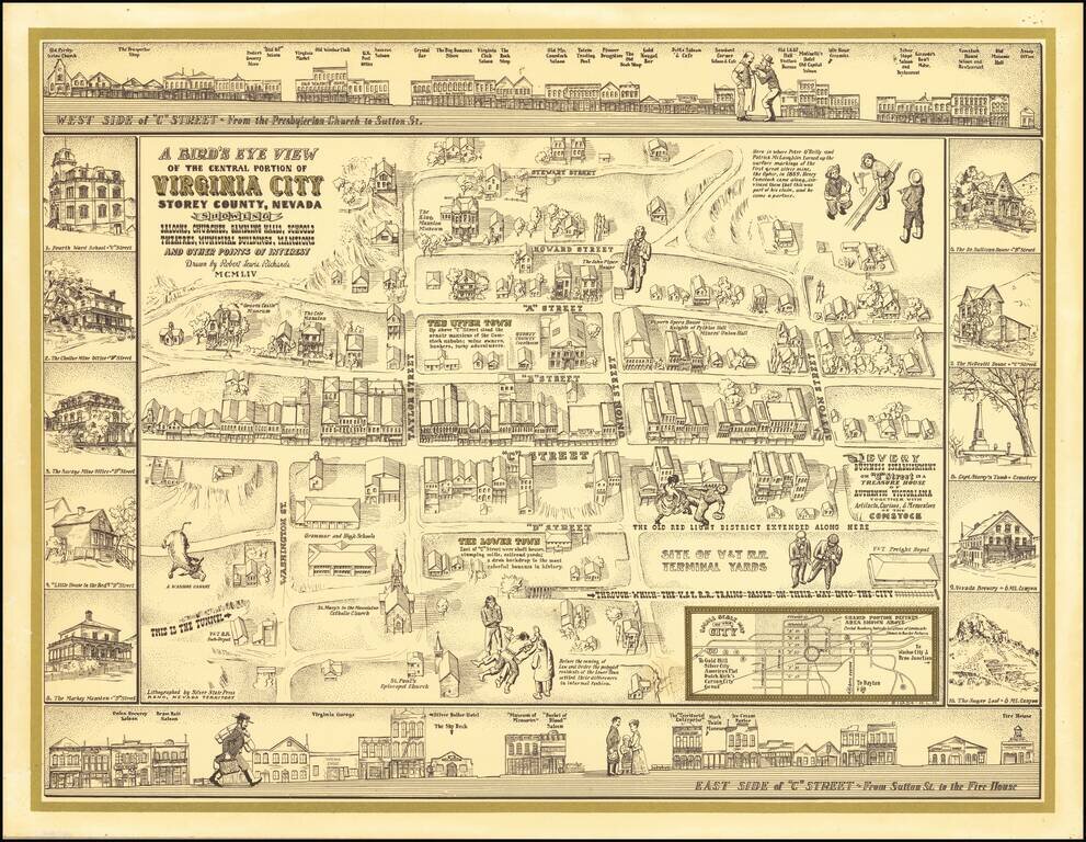
Finely executed pictorial map / birds eye view of Virginia City, drawn by Robert Lewis Richards and lithographed by the Silver State Press in Reno.

The map is a fine combination of historical vignettes and meticulous recreation of Virginia City during its boom years.

At the center of the map, Richards illustrates downtown Virginia City, with street names, the route of the Virginia & Truckee Railroad, the Old Red Light District, main commercial streets and residential sections noted, along with vignettes showing Virginia City life, including a bull at the bottom left, labeled "A Washoe Canary."

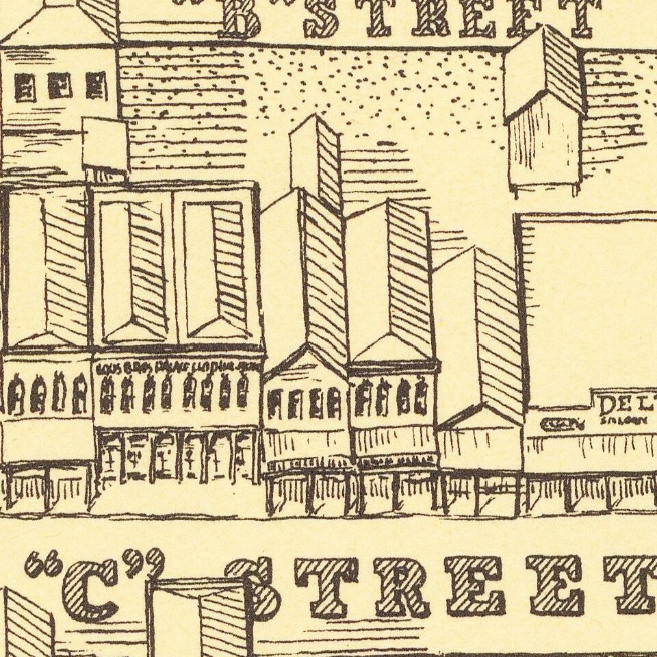
Along the top and bottom are profile views of the major commercial establishments, labeled "The East Side of C Street" and the "West Side of C Street".

Along the sides, important buildings are shown, including the Nevada Brewery, Savage and Chollar Mine Offices and Fourth Ward School.

Rarity

The view is very rare. We locate only the Copyright notice for the map, but no located surviving examples.


Special conditions for students!

If you are a student, write to us in telegram: @antiquemaps and indicate what material you need and for what work you need a map in high detail. We are ready to provide material on special terms. For students only!

Item information:

Year of creation:
Size:
11823x9158 px
Disk:
31.1272MiB
Number of pages:
1
Place:
Reno
$14.99

Related item