
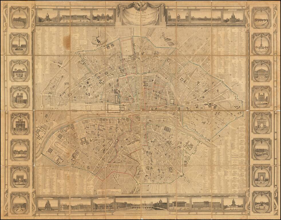
Rare wall map of Paris, issued at the beginning of the 19th Century, several decades before the major projects to re-design Paris under Georges-Eugène Haussmann commenced planning. The map divides Paris nto 12 arrondissements and 48 districts,...
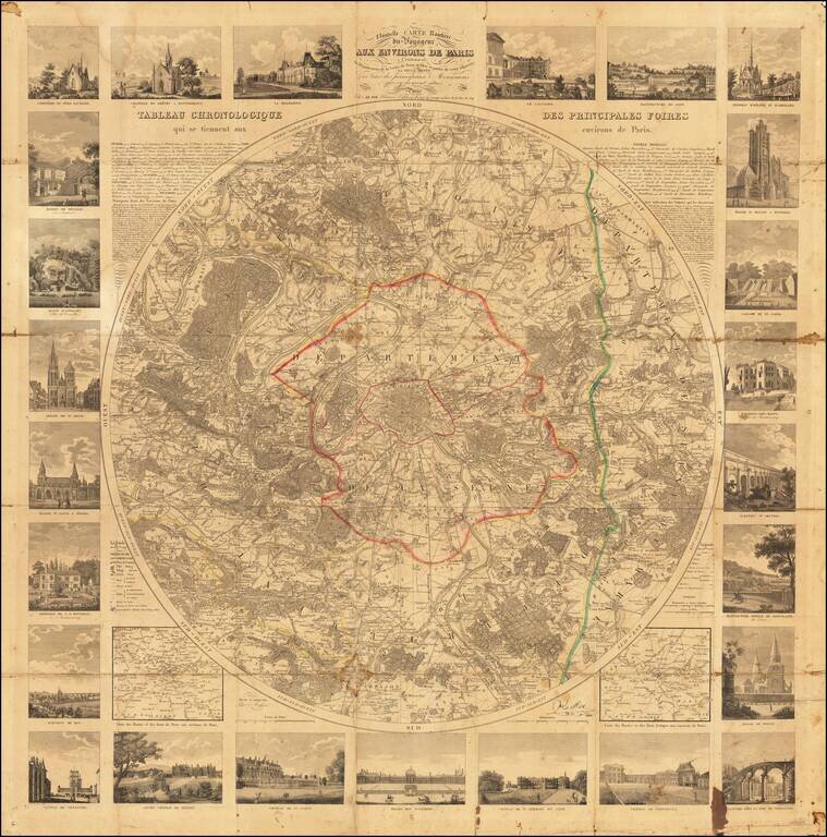
Detailed map of the environs of Paris, published by Le Roi in 1830. Very rare circular map of the area around Paris, prepared for the use of the travelers. The map covers and area in a radius of eight leagues, illustrating all the communes, castles...
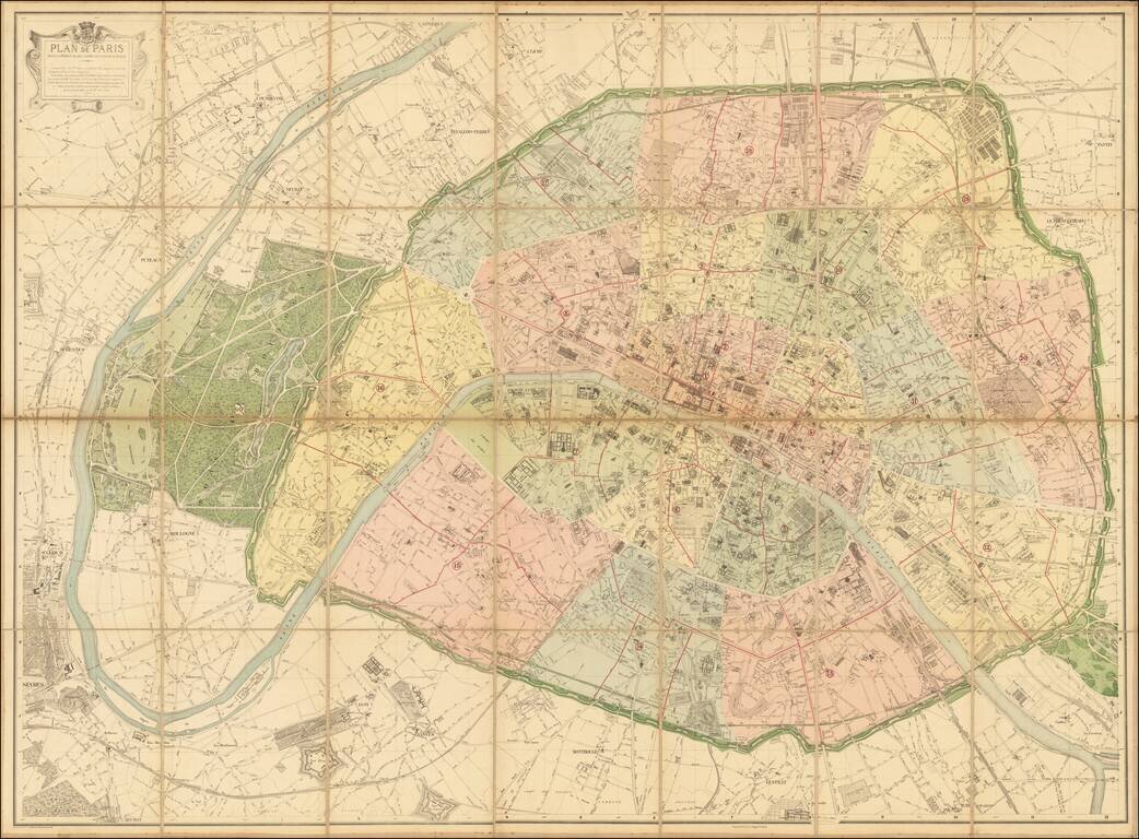
The Deschamps-Hausmann Plan of Paris Important Early Modern Plan of Paris, prepared under the direction of Eugene Deschamps. Divided into Arrondissements, the plan provides an exacting depiction of Paris at the conclusion of the multi-decade...
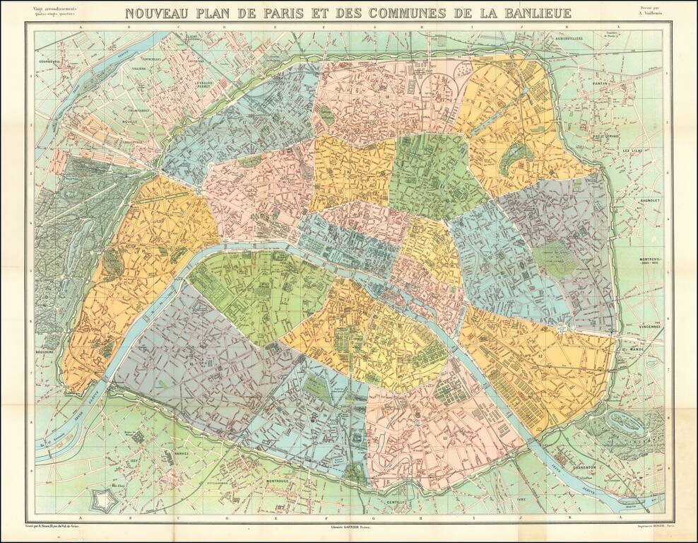
Striking map of metropolitan Paris, published by Garnier Freres. The map is colored by Arrondissements.
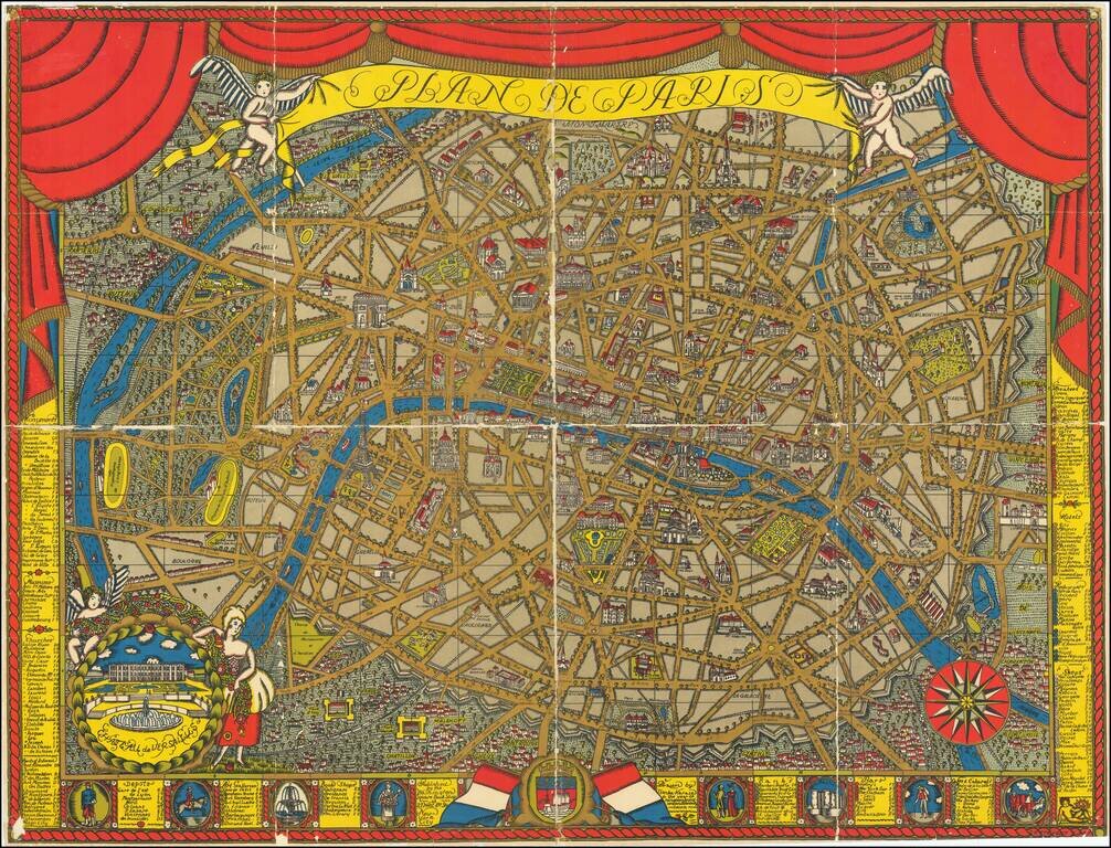
Finely illustrated pictorial map of Paris, drawn by Ilonka Karasz and published by the Washington Square Book Shop, 27 West 8th Avenue, New York City. Rumsey (8091) notes: Karasz's design and the vivid color printing used for this map of Paris are...
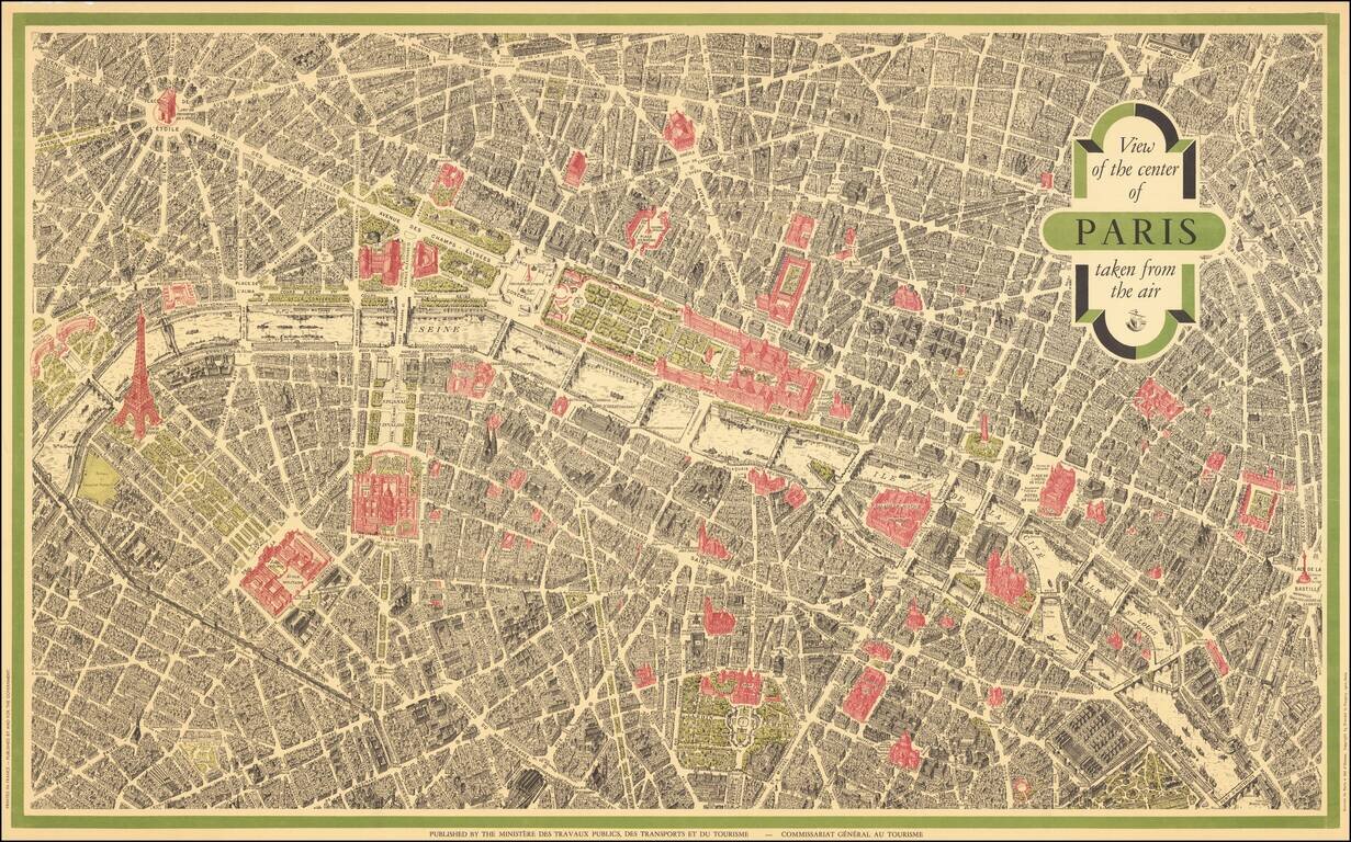
Vintage pictorial bird's eye view of Paris, based on the view Peltier and issued by Blondel La Rougery for a host of hotels and Parisian retail companies throughout the 20th century. This view is the most famous bird's eye view of Paris, second only...