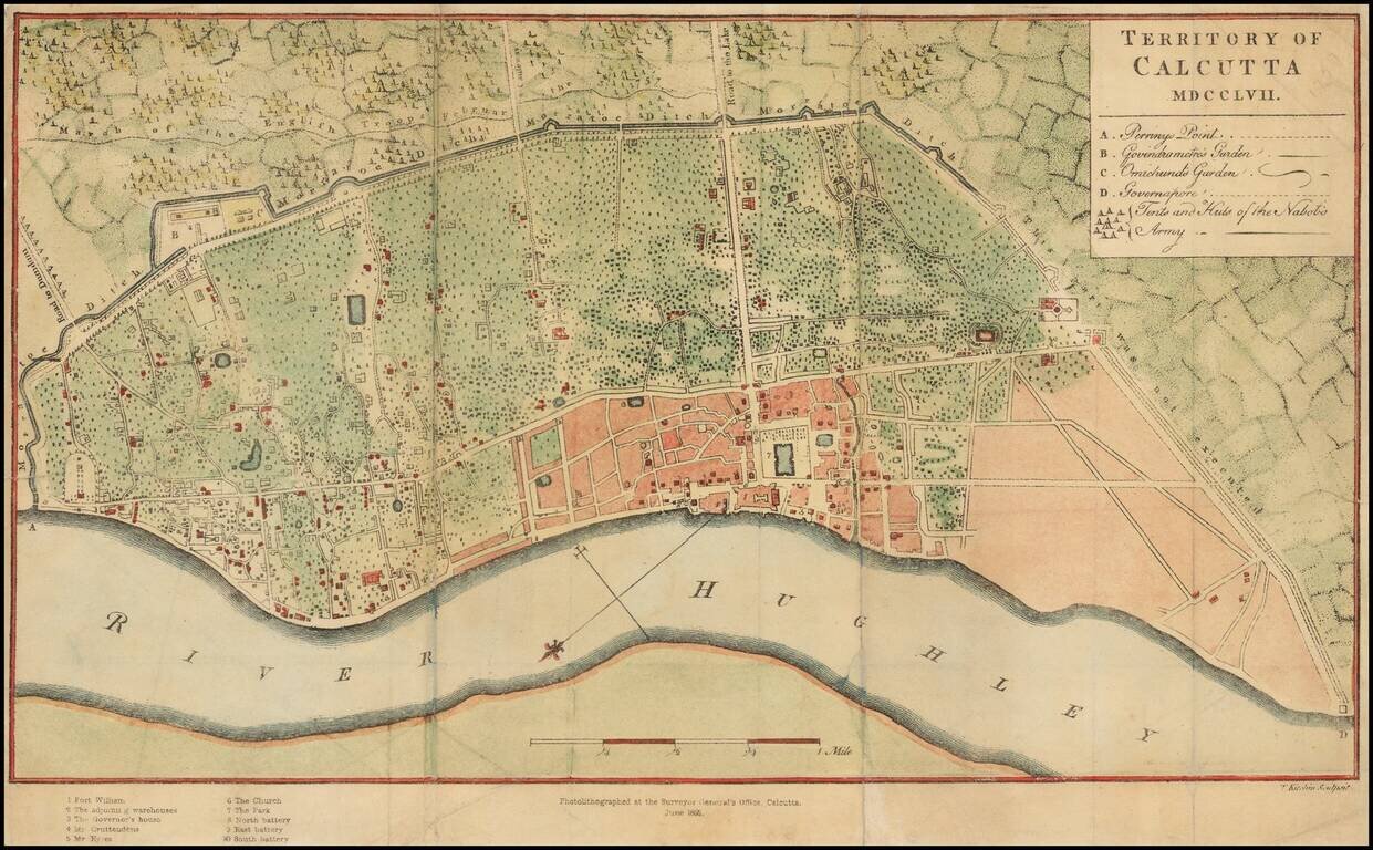
Scarce photo-lithograph of Thomas Kitchin's map of Calcutta, first issued in 1763. The map provides a plan of the territory ceded to the East India Company by the Nawab of Bengal after the Battle of Plassey in June 1757. The Company acquired all the...
![[Chandannagar] French Settlement of Chandernagore Surveyed Season 1870-71 with a portion of the River Hoogly, and of the Country on its Left Bank](/map/small/63527.jpg)
A Rare French Colonial India City Map Rare map of the city of Chandannagar in West Bengal, published by the Surveyor General of India in 1872. The map provides an exceptionally detailed look at the city, which at the time was one of three remaining...
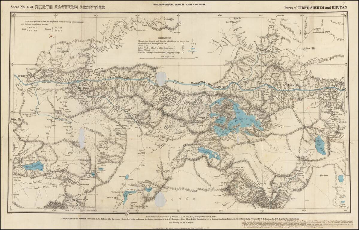
Rare Map of Northern India From the Trigonometrical Survey of India Highly detailed map of parts of Tibet, Sikhim and Bhutan, from the Trigonometrical Survey of India, printed in Dehraban in February of 1885. The map was part of the survey of the...