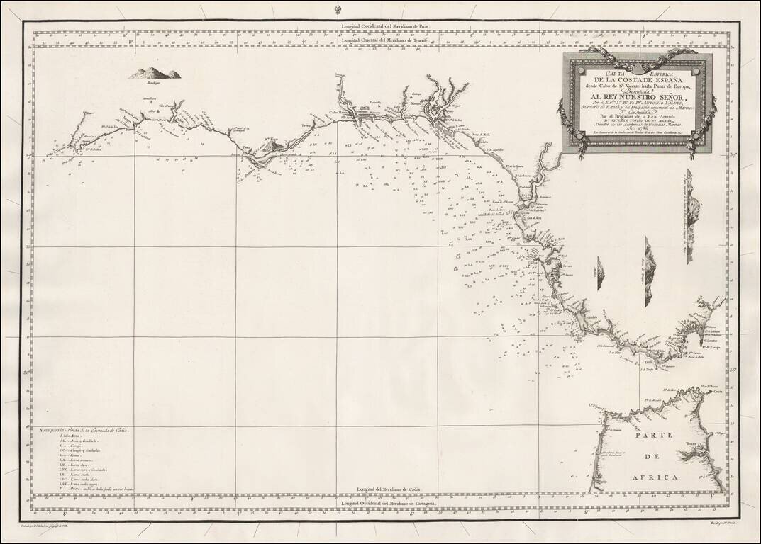
A highly detailed and historically important separately-issued sea chart of Southwestern coasts of Spain and the Straits of Gibraltar, issued by the Spanish Armada Real. This finely engraved and carefully constructed chart embraces the entire...
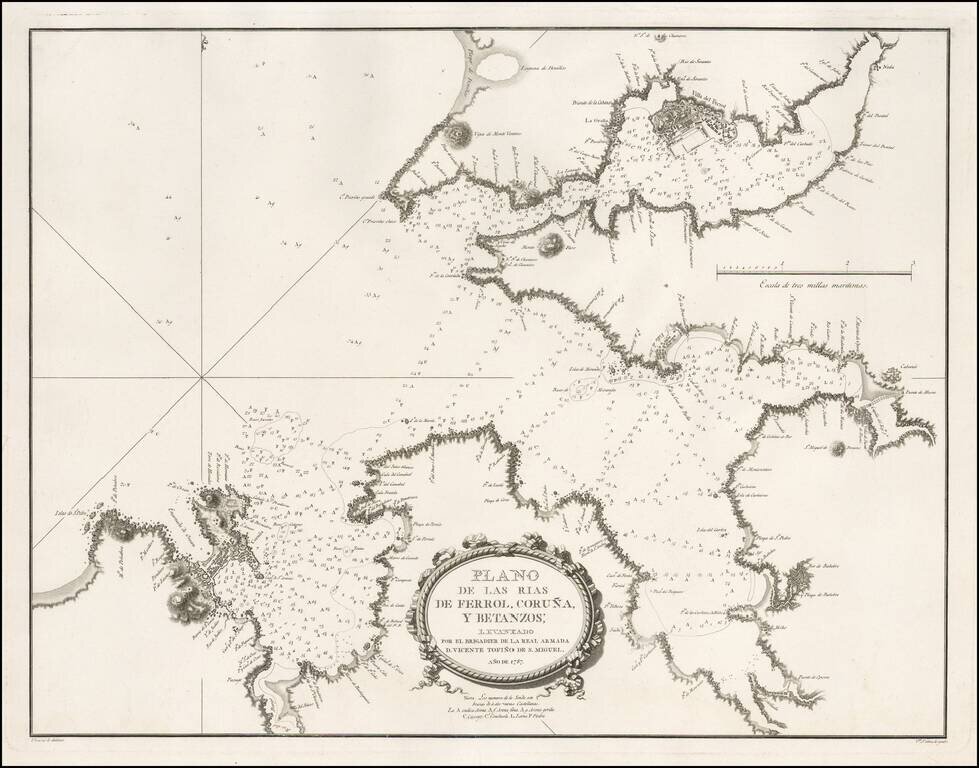
Detailed sea chart of a part of Galicia, showing the harbors at the mouths of the Rivers Ferrol, Coruña and Betanzos, published for the Spanish Hydrographical Society in 1787. This chart was one of the most important early modern surveys of the...
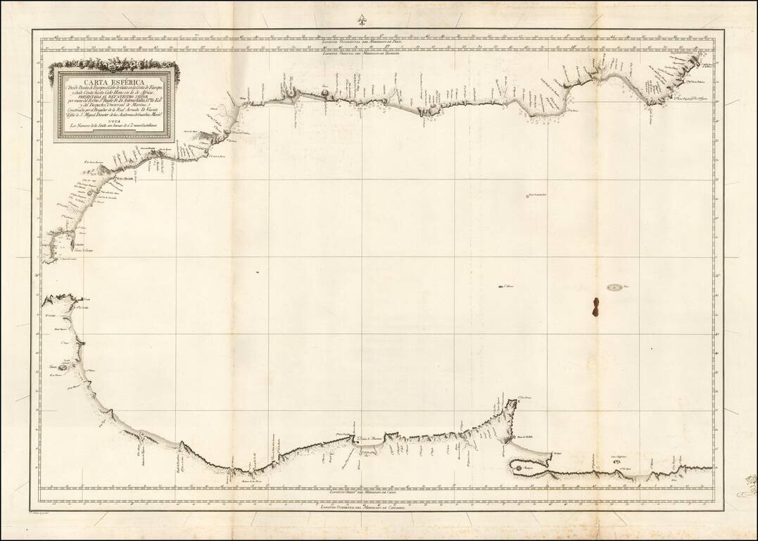
Scarce blue back chart of the Western Mediterranean, published under the direction of the Spanish Hydrographical Department.