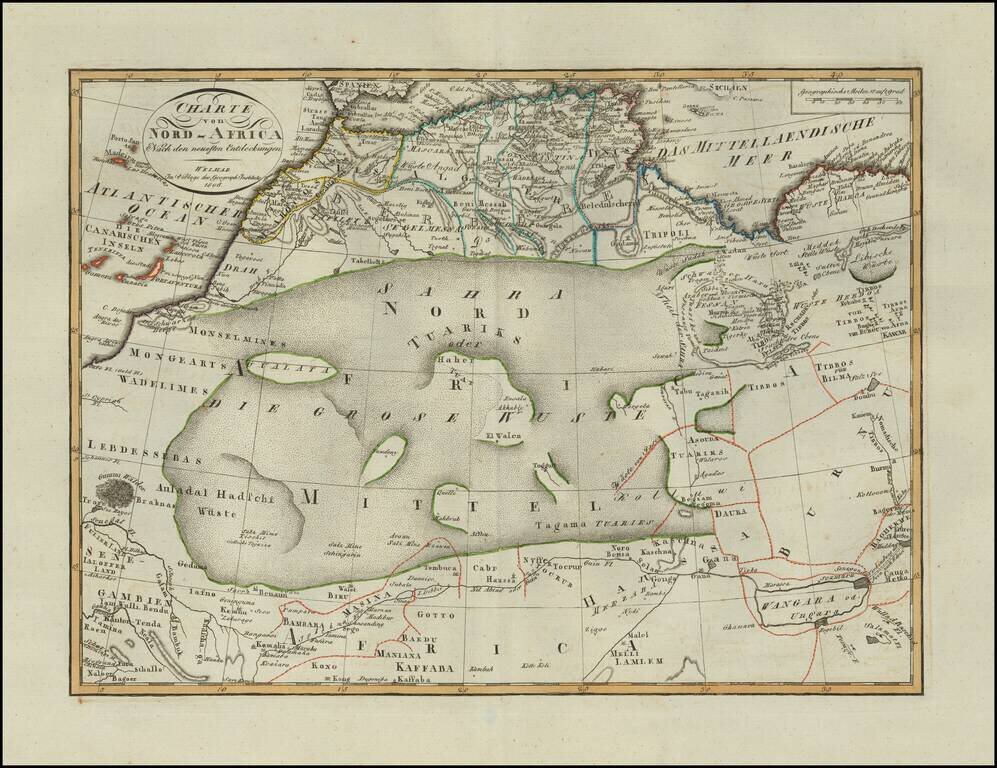
Scarce map of North Africa, published in Weimar in 1806. Incudes a fantastic depiction of the Sahara Desert. A scarce map -- this is the first example we have seen.
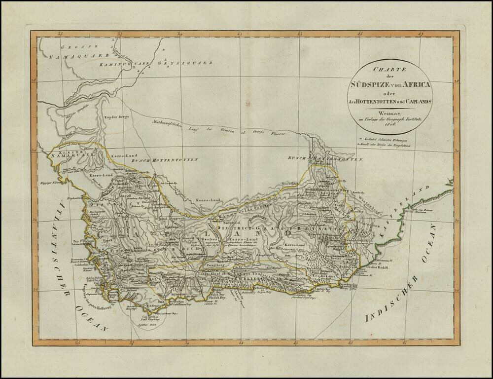
Scarce map of South Africa, published in Weimar in 1806. Includes details on Boer Villages and other colonist details in the region. A scarce map -- this is the first example we have seen.
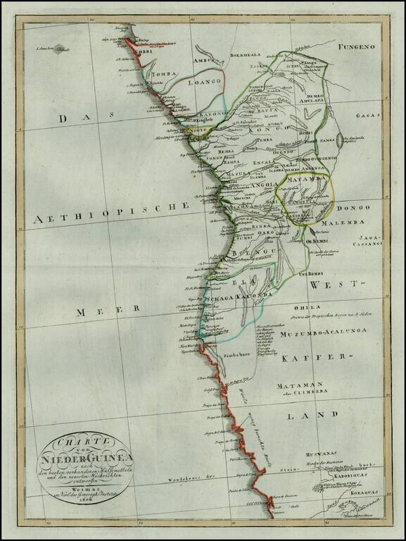
Rare early 19th Century map of the west coast of from Equatorial Guinea and Gabon to Namibia. The map is centered on Angola and the Congo.
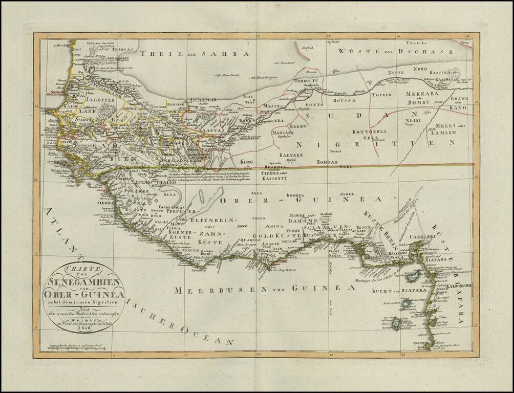
Scarce map of a portion of West Africa, published in Weimar in 1806. Incudes a fantastic depiction of the Sahara Desert in the north and the open unknown regions in the interior, with the extensive European Trading posts along the coastline. A scarce...
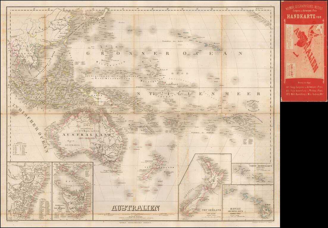
Separately published map of Oceana, bearing the imprint of Carl Graf. Includes inset maps of Hawaii, New Zealand, Oceana, Tahiti, Van Diemens Land and New South Wales.