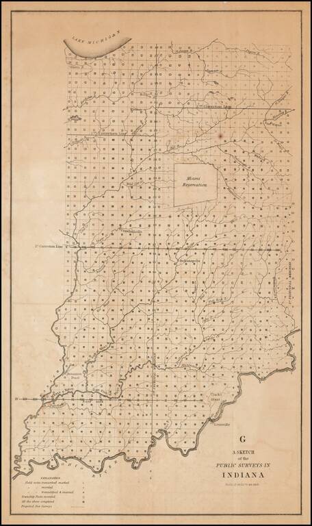
One of the earliest obtainable government survey maps of Indiana. The map is divided into surveyed townships and includes notes as to whether the field notes of the survey have been transcribed and/or recorded, township plats recorded and proposed new...
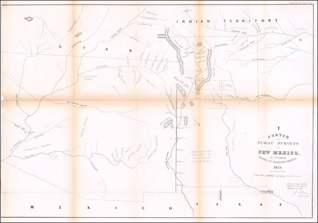
Interesting early map of New Mexico and Arizona, published by the General Land Office. The map extends from the confluence of the Colorado and Gila Rivers to Nicollet River in the northwest, the Rio Pecos in the southwest and Bent's Fort, the...