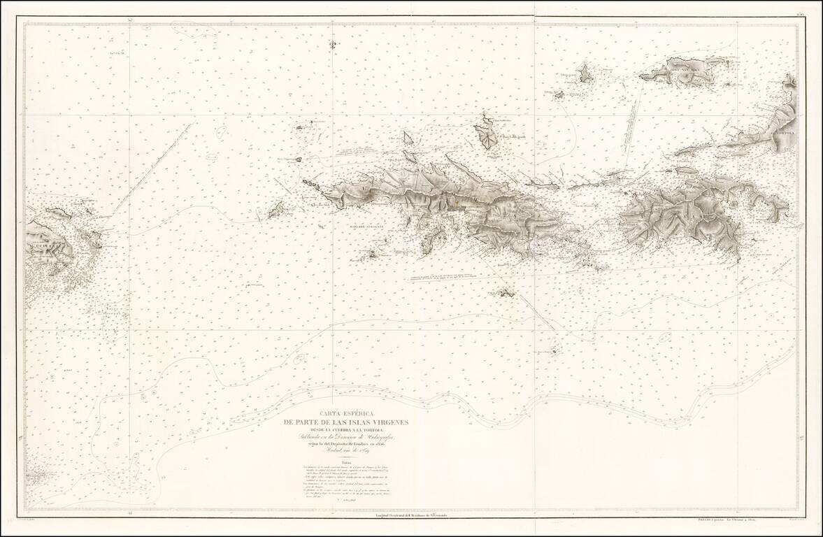
Rare separately issued Spanish Sea Chart of the Virgin Islands, published by the Spanish Hydrographical Department in Madrid. The map extends from Culebra and Culebrita in the west to St. John, St. Thomas, Hans Lolik, Joost Van Dyke, Western Tortola,...
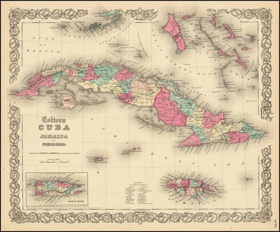
One of the best mid-19th Century American published maps of Cuba and the region. Shows outstanding detail throughout. Cuba and Jamaica are colored by counties and parishes, with towns, rivers, lakes, mountains and other details shown. Roads system is...
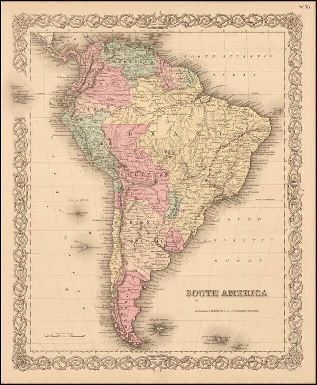
Detailed map of the region, colored by country and showing towns, rivers, province names and mountains. Surrounded by decorative border.
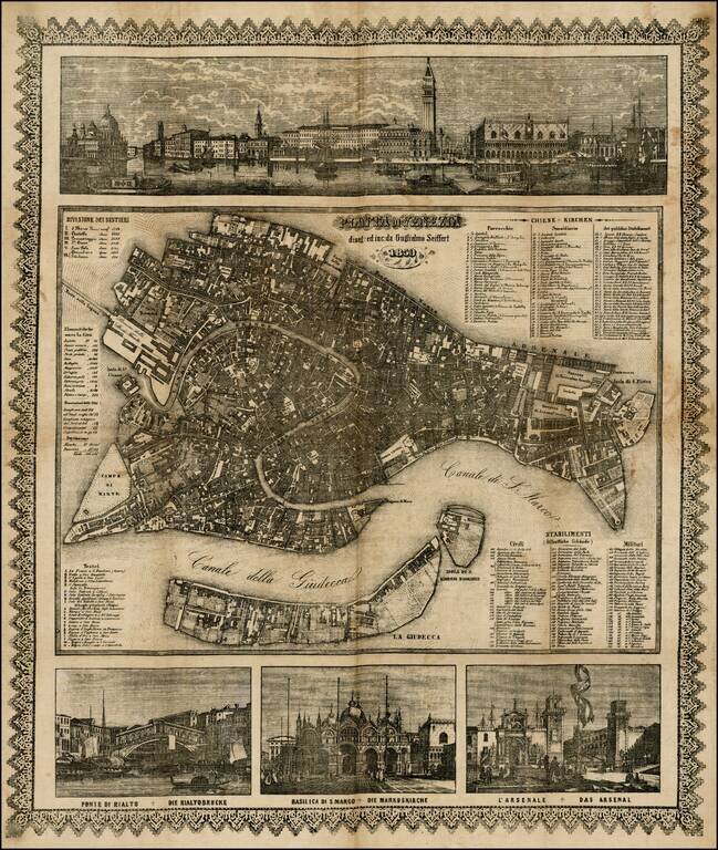
Decorative map of Venice, printed on linen by Willem Seiffert. The map was probably printed for the German tourist market. Fine view of the Grande Canale with the Venetian state barge in the foreground. The lower views show the 'Ponte di Rialto',...
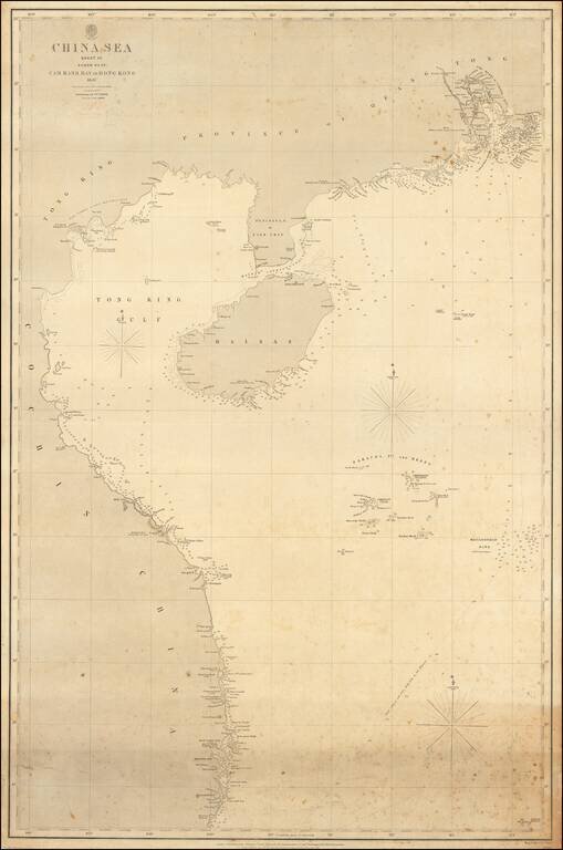
The authoritative sea chart of the southwestern coasts of China and northern Vietnam showing the main shipping route into Hong Kong during the era of the Second Opium War. This important work was part of a series of charts of the South China Sea first...