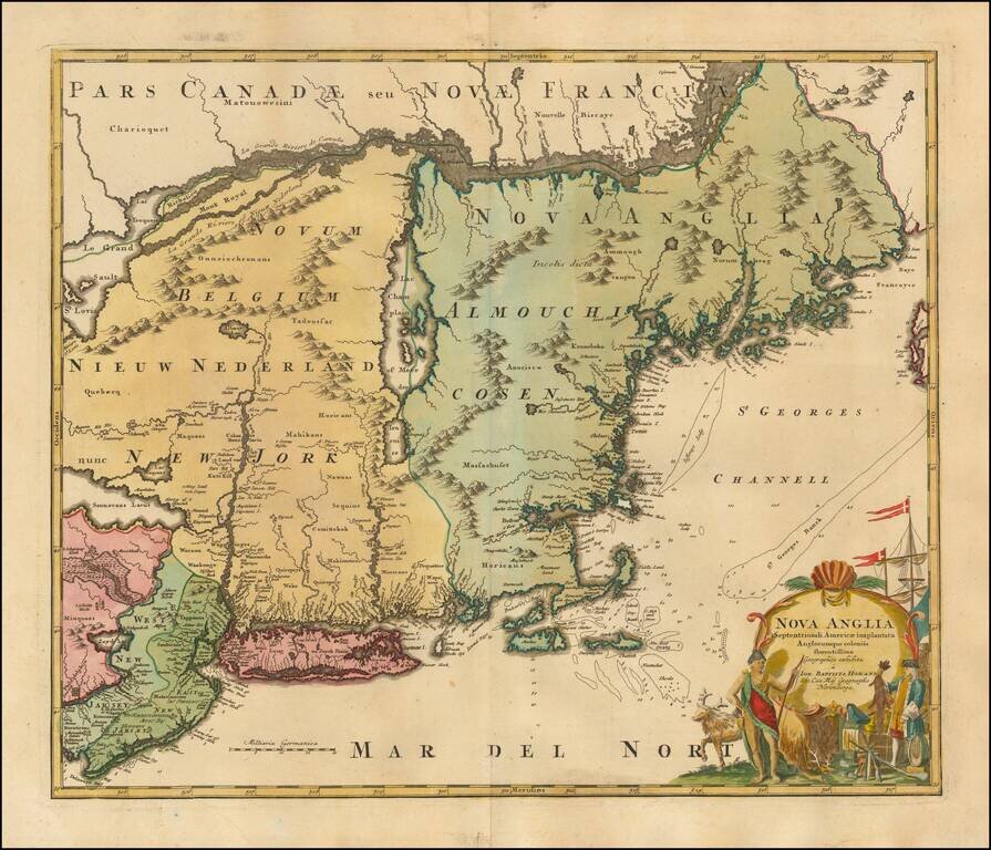
Gorgeous full color example of Homann's map of the Northeast, extending north to include Maine and the St. Lawrence and south to include virtually all of New Jersey. In the early 18th Century, German interest in North America and the prospect of...
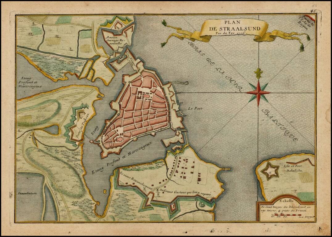
Detailed plan of Straalsund from De Fer's Atlas Curiuex. Shows the walled city, Fort Dahnholm and other details, including a large compass rose.
![Pas-Caart van de Weder zytsche Zee-kusten soo van Italia als Dalmatia en Griecken inde Golff van Venetien , , , 1716 [Large inset of Corfu]](/map/small/20108.jpg)
Striking full color example of Van Keulen's chart of the Gulf of Venice, from his De Nieuwe Groote Lichtende Zee-Fackel, part III. Includes an ornate cartouche and other embellishments, with large insets of Corfu, the mouth of the Po River and Paxoi...