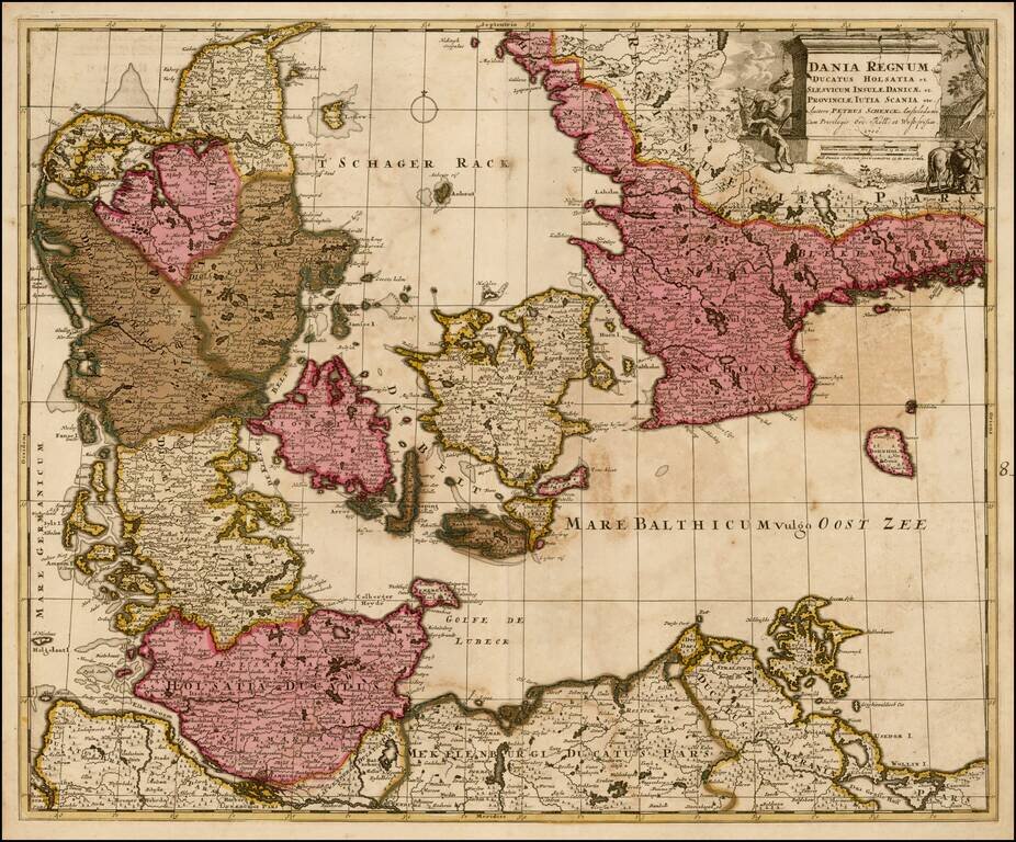
Nice old color example of Pieter Schenk's map of Denmark and surrounding regions, from an early 18th Century composite atlas.
![[Japan and Island of Korea] William Adams Reystogt na Oost-Indien; Avontuurlyle door de Straat Magellaan in't Keyzerryk van Iapan Voleyndigd](/map/small/69763.jpg)
Fine example of this decorative map of Japan and Corai Insula (Korea). The map was used to illustrate the Dutch translations of the account of the voyage of William Adams to Japan in 1600. The cartouche depicts Adams' reception at the Court of the...
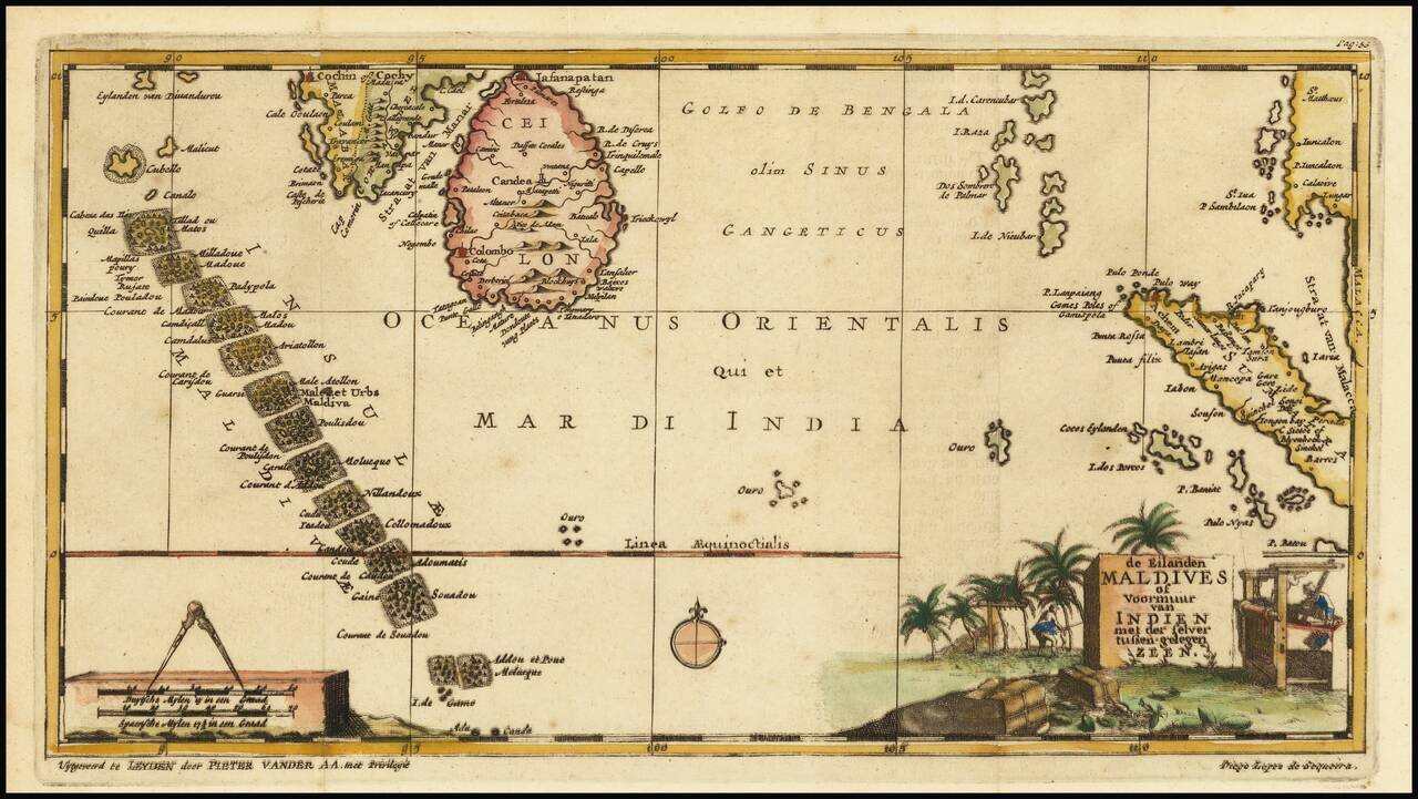
Interesting early map of the Maldives, Ceylon and parts of Malaysia and Sumatra, illustrating the travels of Diego Lopez de Sequeira. In the early 18th Century, Vander Aa reproduced a number of rare manuscript and printed accounts of 16th Century...
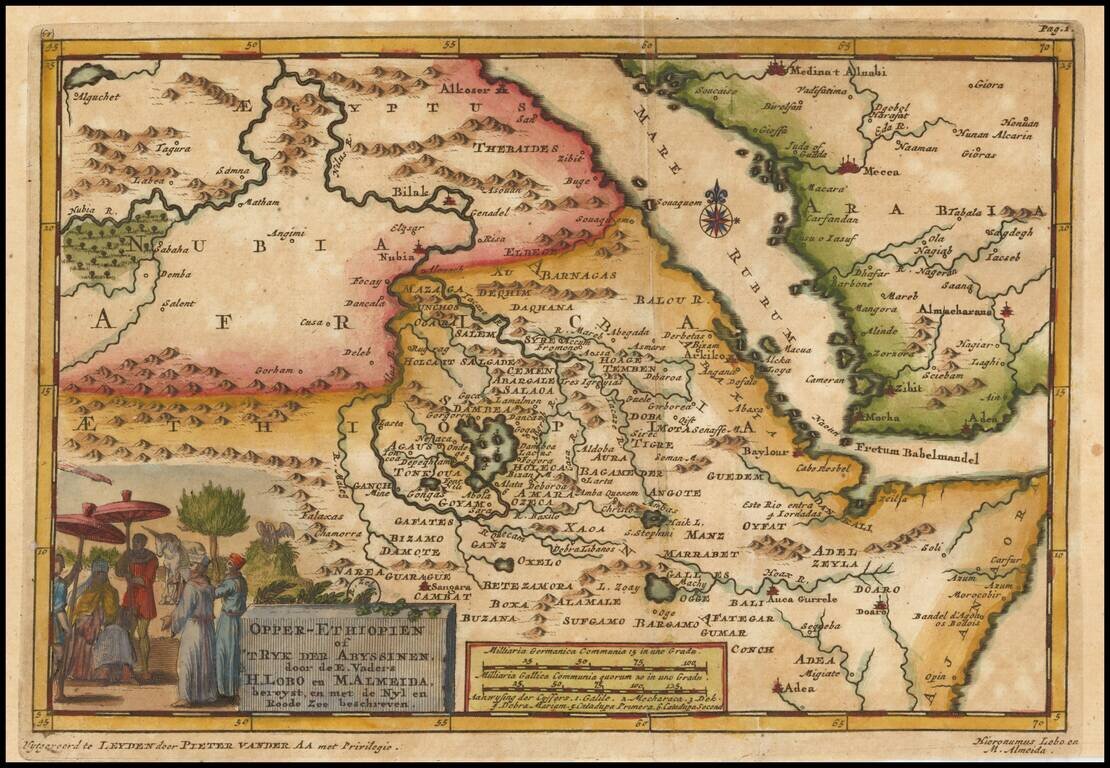
Decorative map centered on the Red Sea and the Sources of the Nile River, published by Vander Aa. The map shows the explorations of Jeronimo Lobo. Jerónimo Lobo (1595– 1678) was a Portuguese Jesuit missionary. He took part in the unsuccessful...