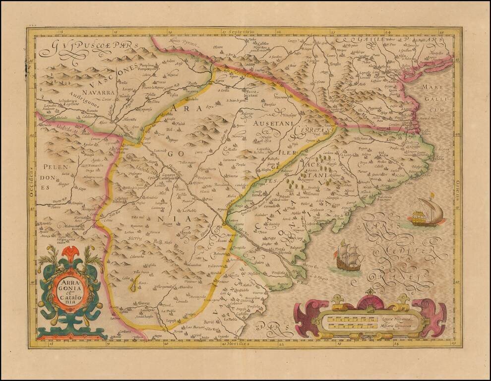
Nice old color example of the Mercator-Hondius map of Catalonia and Aragon. Includes a sea monster, sailing ship, and two decorative cartouches.
![[Portugal] Pascaarte vande Zeecusten van Portugal tusschen de Barlenges en de C. de S. Vincente geleghen, vertoonende nae't leven de ware geleghentheijt vande vermaerde Riviere van Lisbona . . .](/map/small/40065.jpg)
Finely engraved sea chart of the Portuguese coastline, centered on Lisbon, which appeared in Johannes Janssonius's Het Licht der Zeevaert or Le Flambeau de la Navigation, first published in 1620. Jansson's sea atlas is a copy of Blaeu's Atlas of the...
![[Portugal] Pascaarte vande Zeecusten van Portugal tusschen de Barlenges en de C. de S. Vincente geleghen, vertoonende nae't leven de ware geleghentheijt vande vermaerde Riviere van Lisbona . . .](/map/small/52231.jpg)
Finely engraved sea chart of the Portuguese coastline, centered on Lisbon, which appeared in Blaeu's Her Licht der Zeevaert or Le Flambeau de la Navigation, first published in 1608. The map would later be copied by Jansson in 1620 when the Blaeu...
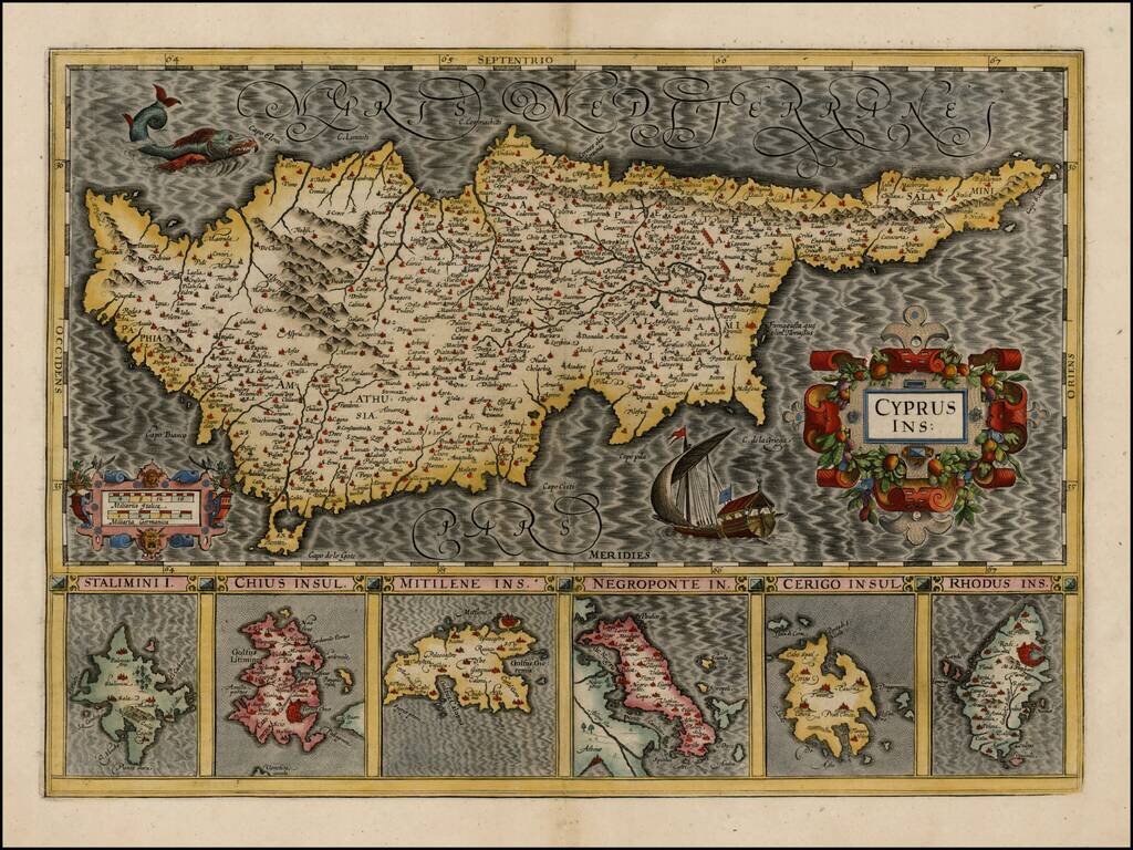
Striking early map of Cyprus, with 6 smaller maps below, showing Stalimini, Chius, Mitilene, Negroponte, Cerigo and Rhodus Islands. A fine example of Mercator's work, with the classic engraving of the sea characteristic of his work. Nice example.
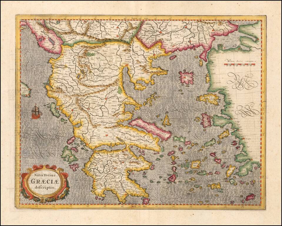
Striking early map of Greece. Decorative cartouche, sailing ship and elaborate engraving style.
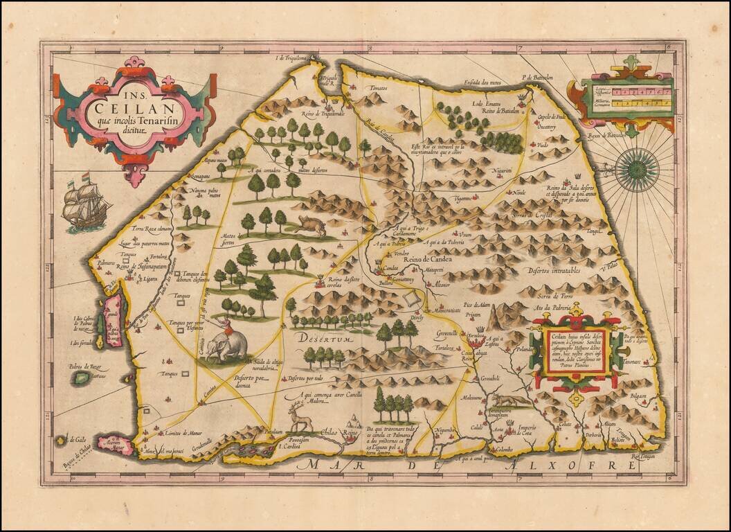
Finely colored example of Ceylon (Sri Lanka), from an early edition of the Mercator Hondius Atlas. The map is oriented with east at the top and includes elephants, gazelles and other animals, sailing ships, compass roses and 3 cartouches. The map...
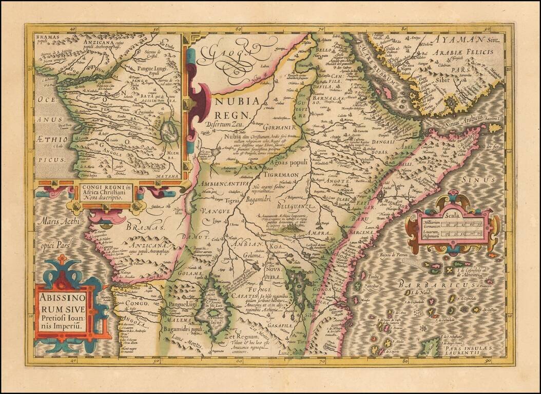
The Kingdom of Prester John Large format map of the Kingdom of Prester John, the mythical African King whom the Crusaders believed had converted to Christianity. While Prester John and his Kingdom were mythical, it did not stop the major European...
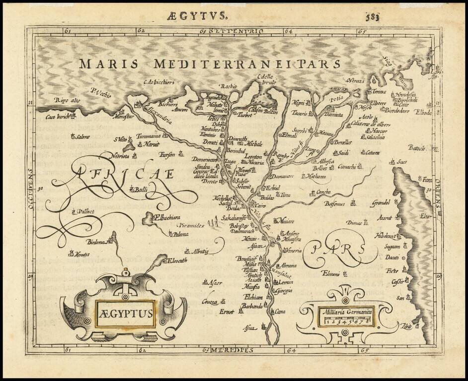
Attractive map of Egypt tracking the Nile from Asuan to the Mediterranean and extending East to the Red Sea, based upon a larger map by Hondius. Includes two cartouches.