Map size in jpg-format: 118.562MiB
Click to open in high resolution (open in new tab).

Including the Bear Feeding Platform!
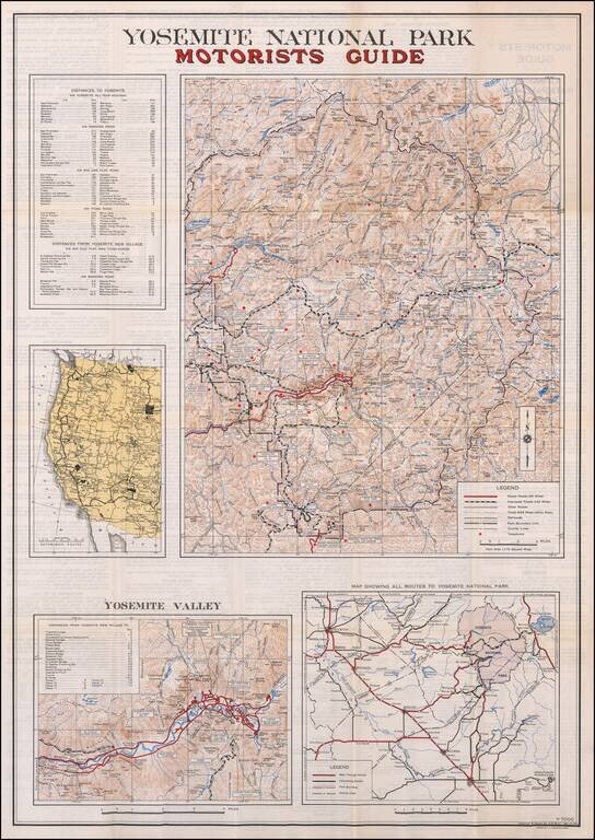
Large motorist guide map to Yosemite National Park, with smaller maps of Yosemite Valley, Routes to the park and a regional map.
The primary maps locate Paved Roads (66 miles), Improved Roads (142 miles), Other Roads, Trails (648 miles within the park), County lines and the location of Telephones in the park.
Many early structures are still shown, including hotels, the Old Village Stores, Ahwahnee, Gas Station, Glacier Point, etc.
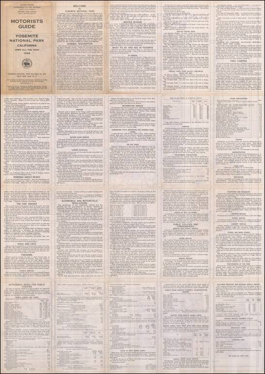
On the verso of the map is an extensive guide to the Park, its attractions, accommodations, trails, park regulations, etc.
If you are a student, write to us in telegram: @antiquemaps and indicate what material you need and for what work you need a map in high detail. We are ready to provide material on special terms. For students only!
![[Photo Album: Urban Military Academy -- Yosemite Summer Camp -- Hollywood Boys School -- Black Face Images]](/map/small/68607.jpg)
![California and Nevada [Yosemite, Sacremento and SF Vicinity Insets]](/map/small/63484.jpg)