Map size in jpg-format: 12.304MiB
Click to open in high resolution (open in new tab).
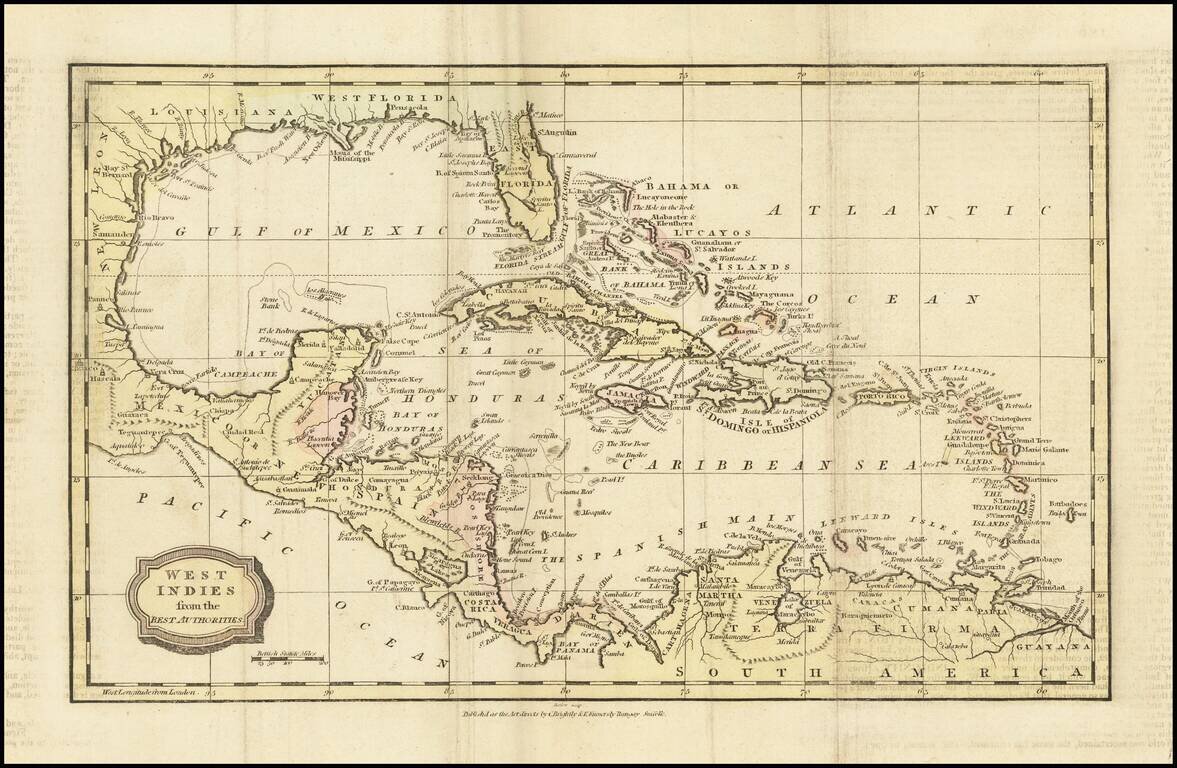
Interesting map of the West Indies and Gulf Coast region, showing Florida, the Yucatan, coast of Central America and South America.
Fort Louis and Lake St. Joseph are shown along with St. Louis Bay and Bernard's Bay, near modern Galveston. Nice detail on the Gulf Coast and an interesting projection of Florida, including an odd St. John's River.
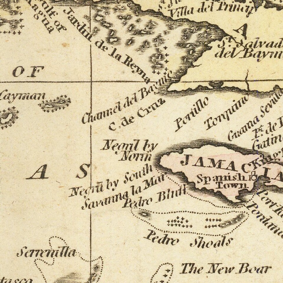
Nice detail in the Caribbean and Central America.
If you are a student, write to us in telegram: @antiquemaps and indicate what material you need and for what work you need a map in high detail. We are ready to provide material on special terms. For students only!

![[Wall Map] West-Indische Paskaert waer in de graden der breedde over weder zyden vande middelyn wassende so vergrooten dat die geproportioneert syn tegen hunne nevenstaende graden de lengde.](/map/small/60169.jpg)
