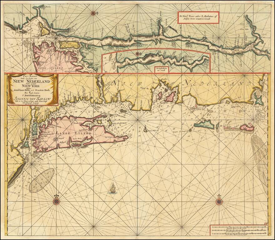
Map size in jpg-format: 1.19928MiB
Click to open in high resolution (open in new tab).

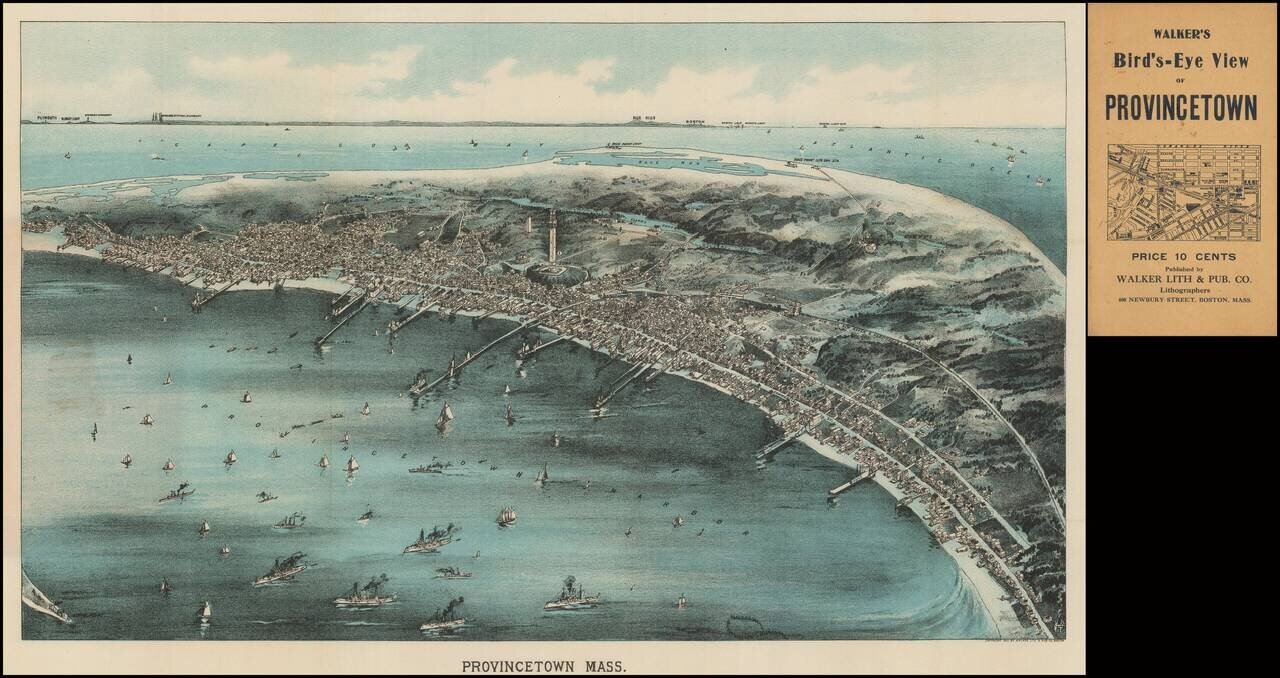
Rare pocket map version of Walker's view of Provincetown, published in Boston in 1910.
As noted on the Leventhal Center website:
Looking in a northwesterly direction toward Cape Cod Bay and the distant Boston shoreline, this bird's eye view portrays Provincetown at a time when the town was transitioning from a community dependent on fishing to one whose economy and culture were increasingly tied to the annual influx of summer residents and a growing artists and writers community. The central focus of this view is Provincetowns most striking architectural feature the Pilgrim Monument. This 252-foot tower was completed just as the view was published in 1910. Celebrating this locale's historic origins, the monument was built to commemorate the Mayflowers five-week stay at the tip of Cape Cod before the Pilgrims decided to shift their base to Plymouth Bay. The view also provides evidence of the community's changing economy. Numerous wharves, a mixture of steam and sailing ships in the harbor, and three cold storage plants for processing fish (Consolidated Weir, Provincetown Cold Storage, and Fisherman's Cold Storage) reflect the towns reliance on maritime industries during the 19th century. On the other hand, the identification in the legend of several hotels (Pilgrim, New Central, Atlantic, Gifford, and Mt. Pleasant Houses) and the Star Theater foreshadows the town's developing tourist industry during the 20th century.The view was originally issued as a larger birds-eye view, with this reduced folding version issued in the same year.
The view is apparently quite rare on the market.
If you are a student, write to us in telegram: @antiquemaps and indicate what material you need and for what work you need a map in high detail. We are ready to provide material on special terms. For students only!