Map size in jpg-format: 569028B
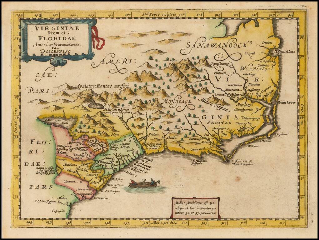
Rare second state of Cloppenberg's map of the Carolinas and parts of Virginia and Georgia, first issued in the Cloppenburg edition of Jansson's Atlas sive Cosmographie in 1630.
The map extends from St. Augustine in the south to just north of Chesepioock Sinus in the north and to the Alleghany Mountains in the west, naming a number of early towns.
The second state of the map lacks engraved sea.
A highly collectable early map of the Southeast.
If you are a student, write to us in telegram: @antiquemaps and indicate what material you need and for what work you need a map in high detail. We are ready to provide material on special terms. For students only!


![[The First Maps in a la poupée Printed Color] Cartes en Couleur des Lieux Sujets aux tremblements de Terre Dans toutes les parties du Monde Selon le Sisteme de l’impulsion Solaire](/map/small/52293op.jpg)