Map size in jpg-format: 1.30164MiB
Click to open in high resolution (open in new tab).

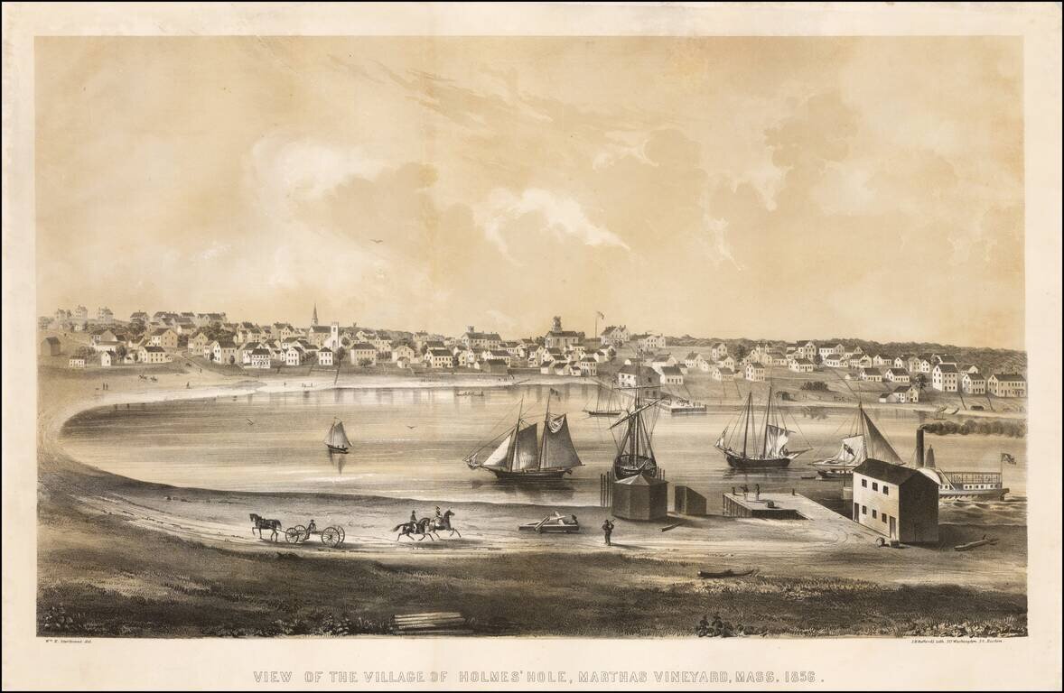
Fine early birdseye view of Vineyard Haven on Martha's Vineyard.
Vineyard Haven, known until 1871 as Holmes' Hole, was a fishing and shipbuilding village, and a primary harbor for boats traveling the coast between New York and Boston.
Bufford's view shows the town in 1856, as seen by the artist from the sandspit to the east that still separates the harbor from Lagoon Pond.
The view is very rare, with OCLC locating only the examples in the American Antiquarian Society and Boston Athenaeum.
If you are a student, write to us in telegram: @antiquemaps and indicate what material you need and for what work you need a map in high detail. We are ready to provide material on special terms. For students only!