Map size in jpg-format: 17.9518MiB
Click to open in high resolution (open in new tab).
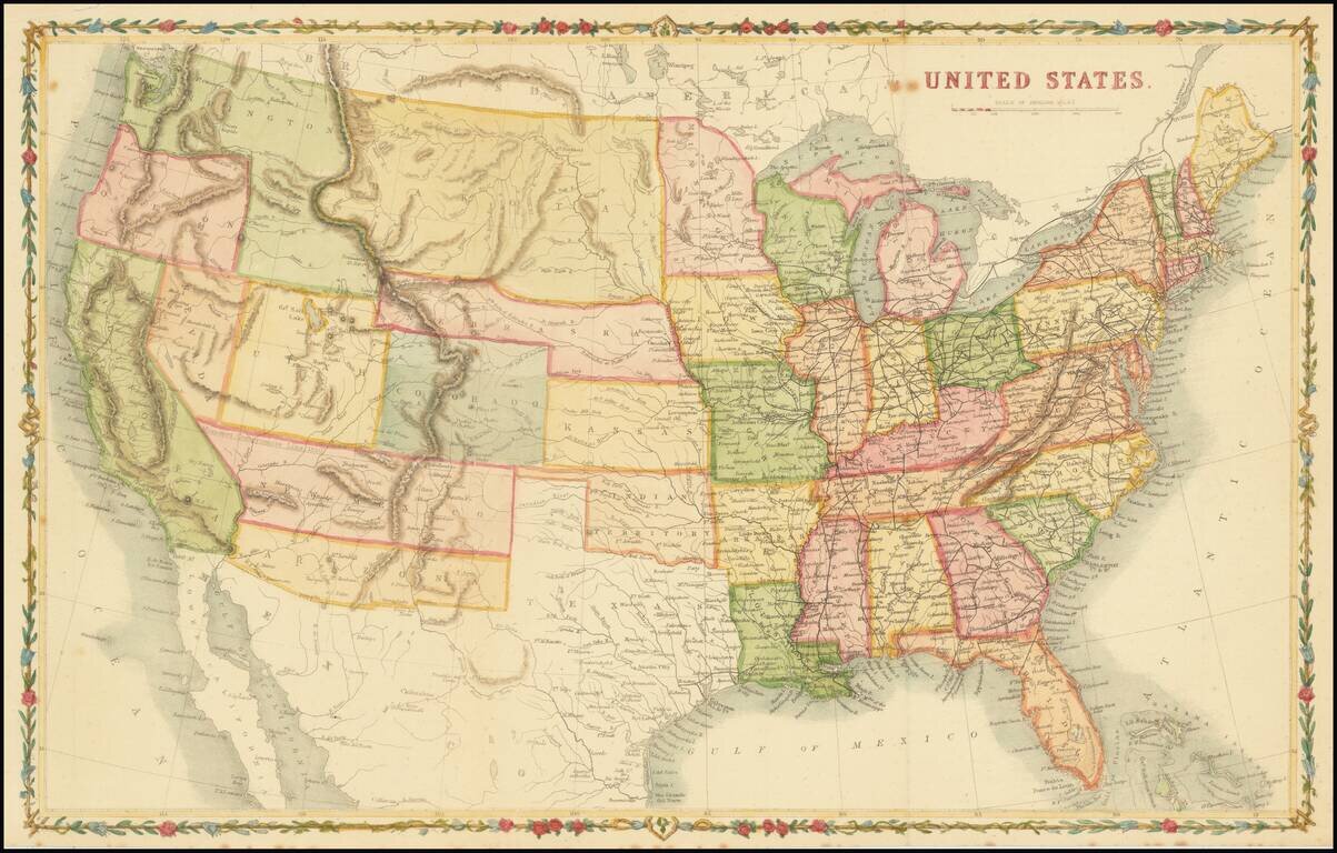
Scarce map of the United States, drawn in the style of John Rapkin.
The Missouri Compromise Line of 1820 is referenced along the northern New Mexico territorial border.
Washington Territory is depicted in the short-lived inverted 'L' configuration, extending east to the Continental Divide and south to the Utah Territory. The proposed Territory of Arizona (Baylor Line) is shown in the southern part of New Mexico Territory.
A huge Dakota Territory extends from Minnesota to Washington. Surrounded by a decorative vine and flower border.
If you are a student, write to us in telegram: @antiquemaps and indicate what material you need and for what work you need a map in high detail. We are ready to provide material on special terms. For students only!

![[Signed Political Satire Artwork] Vietnam ... Vietnam ... Vietnam ...](/map/small/68726.jpg)
