Map size in jpg-format: 19.538MiB
Click to open in high resolution (open in new tab).
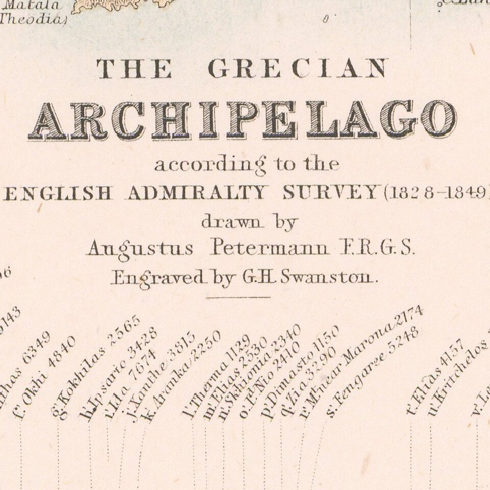
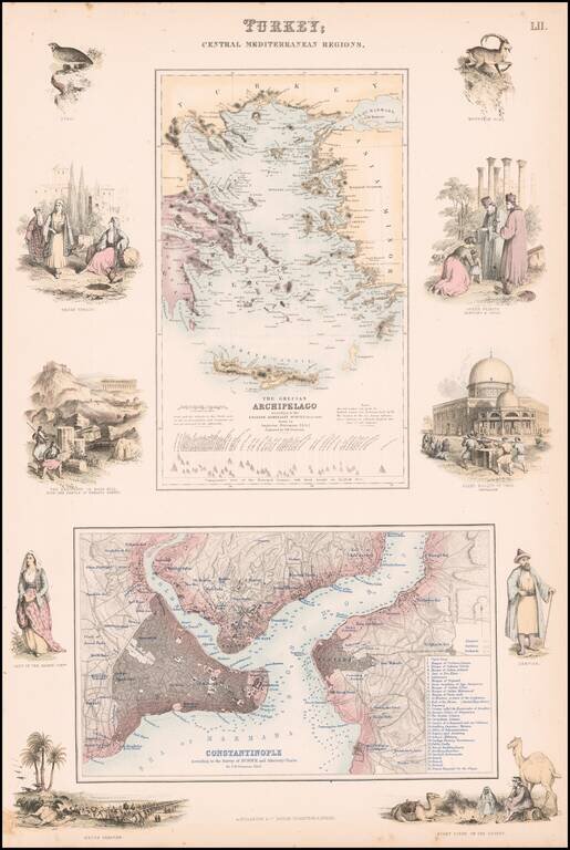
Highly detailed map of Turkey, Greece, the Greek Islands and the Aegean, with a second large map of Istanbul.
Two maps on one sheet, the first showing The Grecian Archipelago, the second showing Constantinople. Decorative vignettes showing local scenes, people and fauna.
Fullarton's Royal Illustrated Atlas, the last highly decorative atlas published in England. Even the maps without views or figures are beautifully engraved and colored with a mixture of printed color and hand color. Swanston, Petermann, Bartholomew, Macnab and Johnson engraved the maps.
If you are a student, write to us in telegram: @antiquemaps and indicate what material you need and for what work you need a map in high detail. We are ready to provide material on special terms. For students only!

![Patriarchatus Antiocheni Geographica Descriptio . . . [shows Cyprus]](/map/small/54177.jpg)
