
Map size in jpg-format: 134.647MiB
Click to open in high resolution (open in new tab).
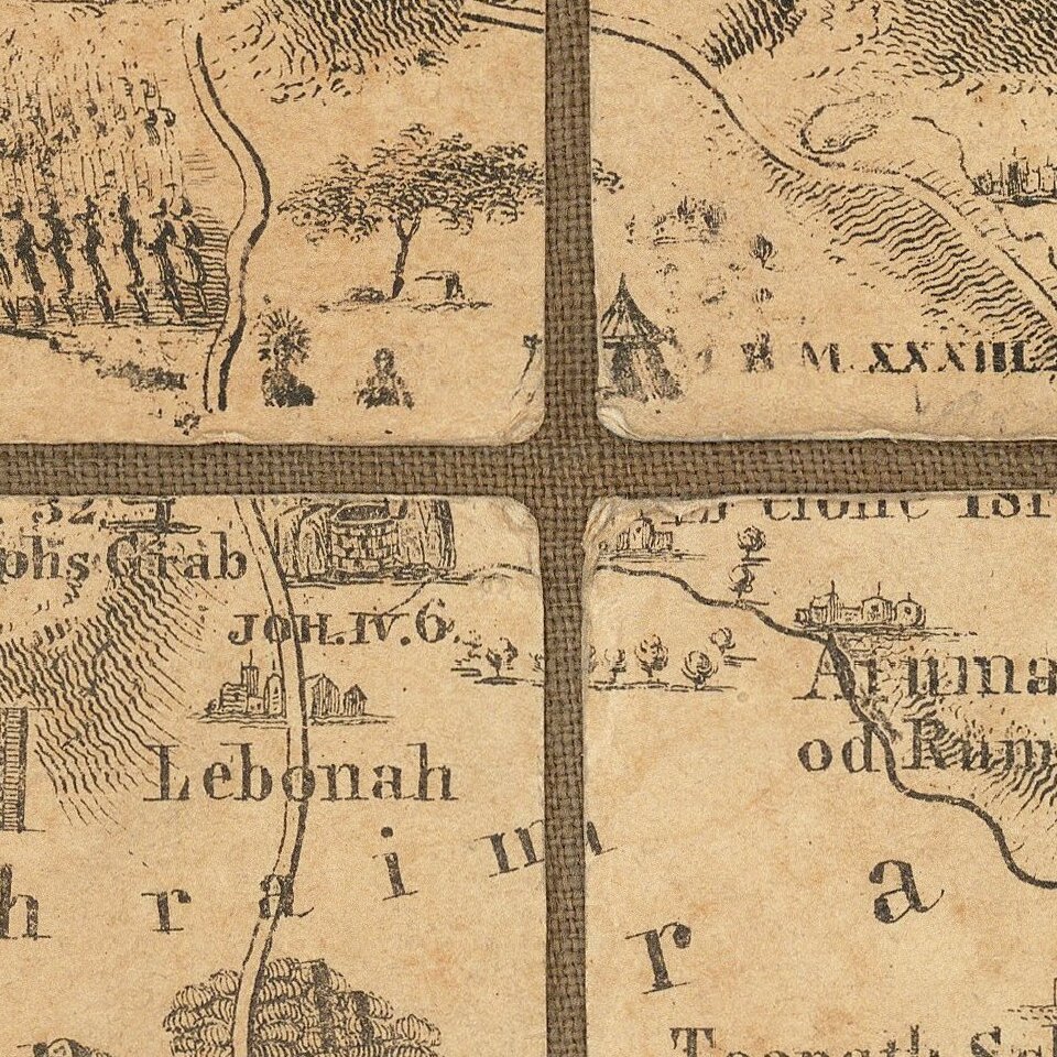
Rare Wall Map of the Holy Land By A German Orientalist Scholar
Finely executed map of the Holy Land, including 96 pictorial vignettes illustrating events from Biblical History.
This is German Orientalist and Historian EFK Rosenmuller's edition of the map of the Holy Land published in 1820 in England by J.T. Assheton. The map is elaborately illustrated with miniature vignettes of biblical subjects
The map is based upon the work of J.T. Assheton, who also problished The Scripture Atlas in 1818 and A Historical Map of Palestine, or the Holy Land in 1820, among his other works. Assheton's map would be copied by a number of other mapmakers, including a wall map by Samuel Augustus Mitchell, published in 1849.
Rarity
OCLC locates 1 copy (American Geographical Society -- UWM), likely the example purchased by Ken Nebenzahl in 1983 at Sothebys, at the Bentley Sale, Lot 210.
Rosenmuller was the oldest son of the rationalist theologian Johann Georg Rosenmüller.
He became identified with the University of Leipzig, first as a student, in 1792 as a tutor, extraordinary professor of Arabic in 1796, and ordinary professor of Oriental languages from 1813 to the time of his death, 1835.
Rosenmuller promoted the study of the Arabic language, brought within the reach of theologians the rapidly increasing knowledge of his day with reference to the conditions of the East, and endeavored to raise the exposition of the language and statements of the Old Testament to the level of the science of his day.
Rosenmuller's Bible commentaries and Arab lexical studies were significant scholarly achievements.
If you are a student, write to us in telegram: @antiquemaps and indicate what material you need and for what work you need a map in high detail. We are ready to provide material on special terms. For students only!


![[Early Montanus World Map in Volume Eight of the Plantin Polyglot Bible]](/map/small/53766.jpg)