logo

1872. Topographical Map of Cumberland Co. New Jersey

  • Topographical Map of Cumberland Co. New Jersey

Topographical Map of Cumberland Co. New Jersey information:

Year of creation: 
Resolution size (pixels): 
 2489x1612 px
Disk Size: 
 1.36536MiB
Number of pages: 
 1
Place: 
 New York
Author: 

Print information. Print size (Width x height in inches):
Printing at 72 dpi 
  34.57 х 22.39
Printing at 150 dpi 
 16.59 х 10.75
Printing at 300 dpi 
 8.3 х 5.37

An example of detailing the file of this map of in a printable high-resolution:

Click to open in high resolution (open in new tab).
Attention! this is just the central piece (central area 960x960 px) of the map file!
This is an example, so that you can see and study the level of detail of a given map. The entire Map will be fully available after payment!

Topographical Map of Cumberland Co. New Jersey

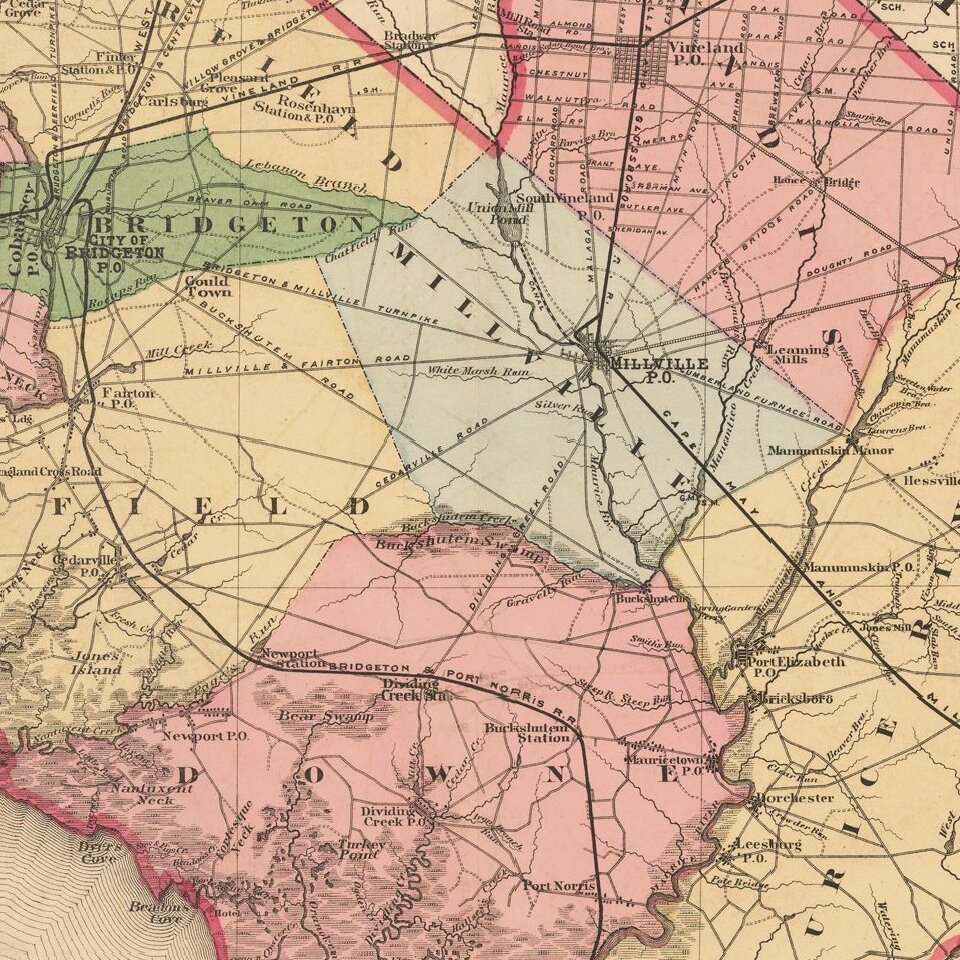
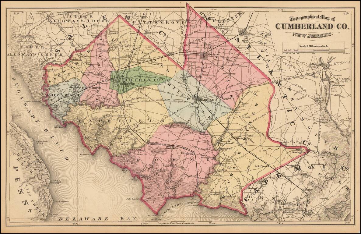
Detailed map of Cumberland County, from Beers Atlas of New Jersey.


Special conditions for students!

If you are a student, write to us in telegram: @antiquemaps and indicate what material you need and for what work you need a map in high detail. We are ready to provide material on special terms. For students only!
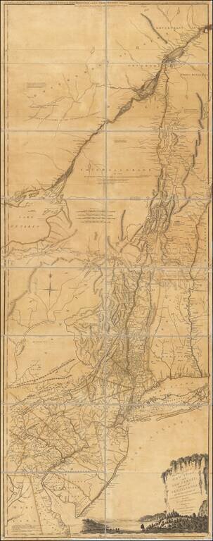
Item information:

Year of creation:
Size:
2489x1612 px
Disk:
1.36536MiB
Number of pages:
1
Place:
New York
Author:
Beers.
$9.99

Related item