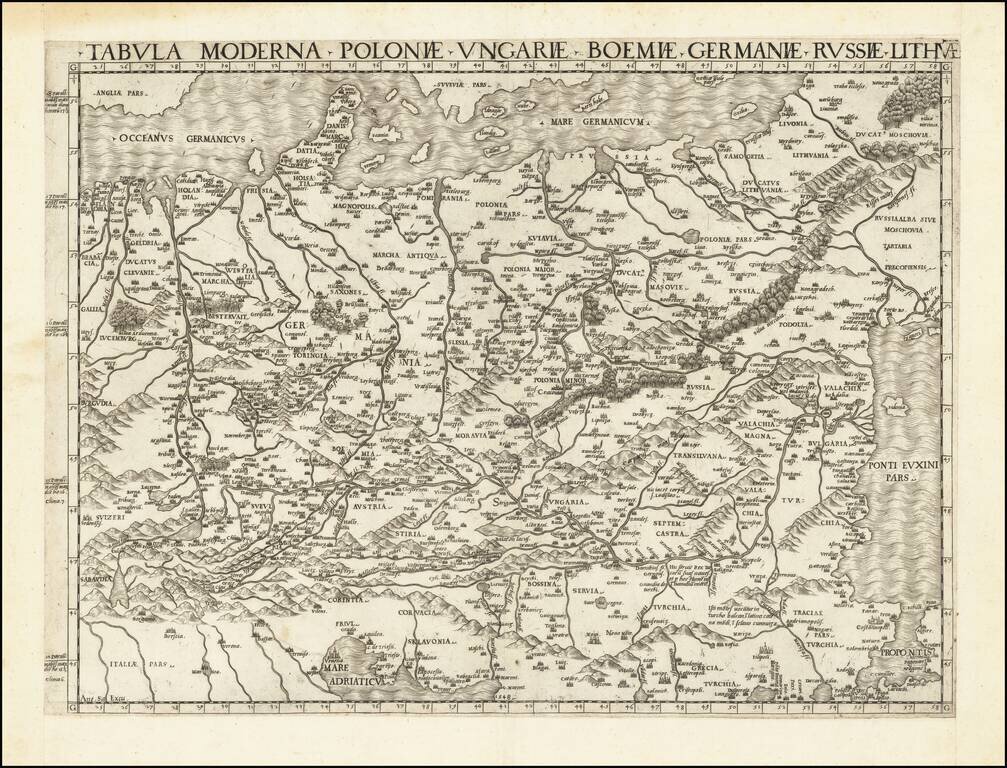
logo

1854. Tooneel Van Den Oorlog In Het Oosten . . . 1854

  • Tooneel Van Den Oorlog In Het Oosten . . . 1854

Tooneel Van Den Oorlog In Het Oosten . . . 1854 information:

Year of creation: 
Resolution size (pixels): 
 3264x2216 px
Disk Size: 
 2.27817MiB
Number of pages: 
 1
Place: 
 's-Gravenhage

Print information. Print size (Width x height in inches):
Printing at 72 dpi 
  45.33 х 30.78
Printing at 150 dpi 
 21.76 х 14.77
Printing at 300 dpi 
 10.88 х 7.39

An example of detailing the file of this map of in a printable high-resolution:

Click to open in high resolution (open in new tab).
Attention! this is just the central piece (central area 960x960 px) of the map file!
This is an example, so that you can see and study the level of detail of a given map. The entire Map will be fully available after payment!

Tooneel Van Den Oorlog In Het Oosten . . . 1854

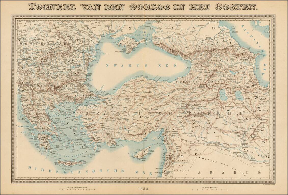
Rare large format map of the region between Greece and Hungary in the west and Iraq and the Caspian Sea in the east, centered on Turkey.

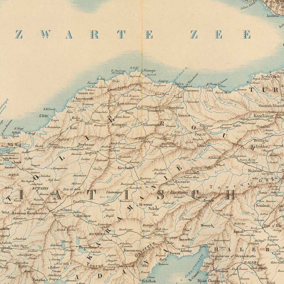
The map shows rivers, roads, topographical and other features.

This is the first time we have seen the map.


Special conditions for students!

If you are a student, write to us in telegram: @antiquemaps and indicate what material you need and for what work you need a map in high detail. We are ready to provide material on special terms. For students only!

Item information:

Year of creation:
Size:
3264x2216 px
Disk:
2.27817MiB
Number of pages:
1
Place:
's-Gravenhage
Author:
Topographical Bureau, Min. van Oorlog.
$14.99

Related item