Map size in jpg-format: 30.1607MiB
Click to open in high resolution (open in new tab).
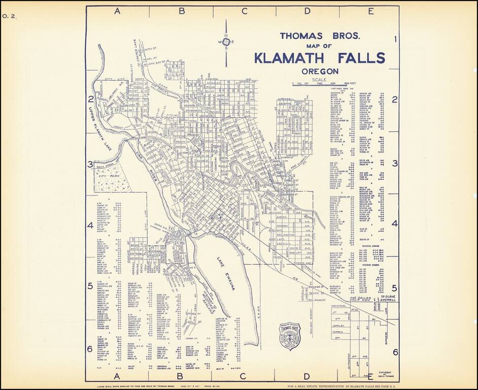
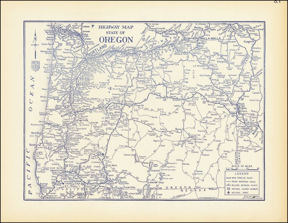
Early map of Klamath Falls, Oregon, with a map of State Highway system of Oregon on the verso.
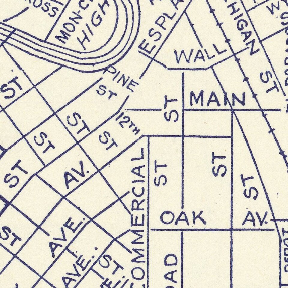
Nice pair of city plans including streets, major buildings, railroad lines, etc.
If you are a student, write to us in telegram: @antiquemaps and indicate what material you need and for what work you need a map in high detail. We are ready to provide material on special terms. For students only!