Map size in jpg-format: 417.826MiB
Click to open in high resolution (open in new tab).

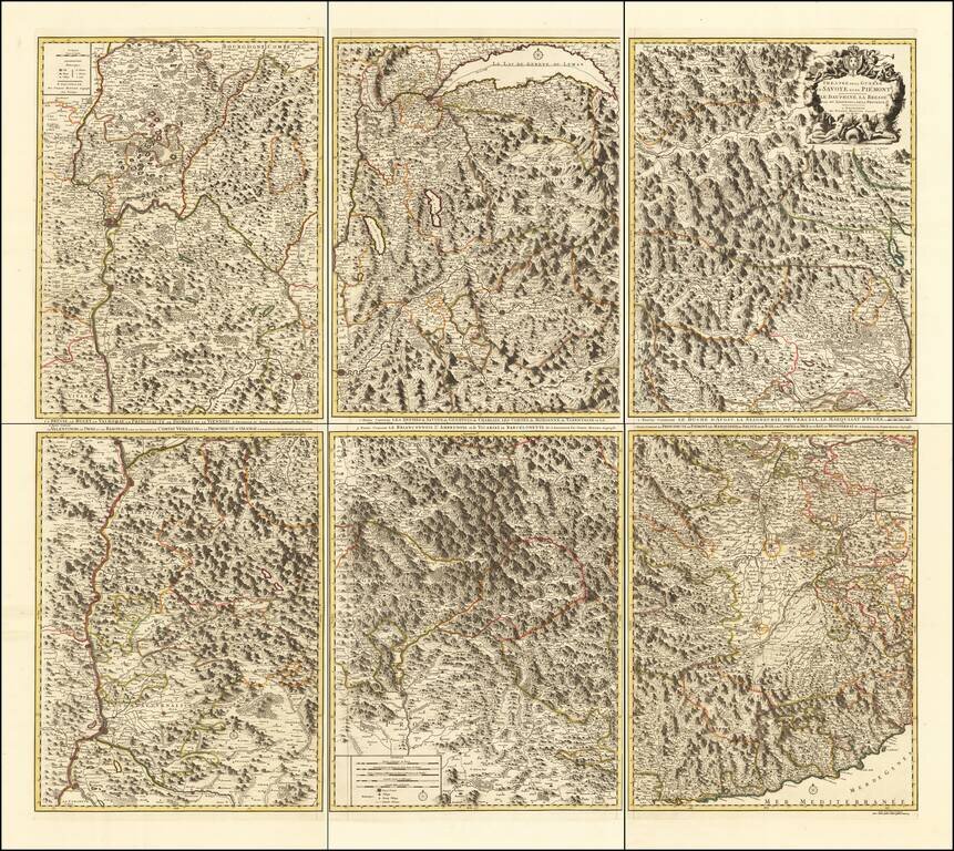
Rare 6-sheet map of the Savoy and Piemonte region, published by Pierre Mortier in Amsterdam.
The map provide a highly detailed treatment of the topography of the region. Lake Geneva at the top center, with Monaco and the Italian Riviera at the bottom right and Avignon at the bottom center.
Pierre, or Pieter, Mortier (1661-1711) was a Dutch engraver, son of a French refugee. He was born in Leiden. In 1690 he was granted a privilege to publish French maps in Dutch lands. In 1693 he released the first and accompanying volume of the Neptune Francois. The third followed in 1700. His son, Cornelis (1699-1783), would partner with Johannes Covens I, creating one of the most important map publishing companies of the eighteenth century.
If you are a student, write to us in telegram: @antiquemaps and indicate what material you need and for what work you need a map in high detail. We are ready to provide material on special terms. For students only!
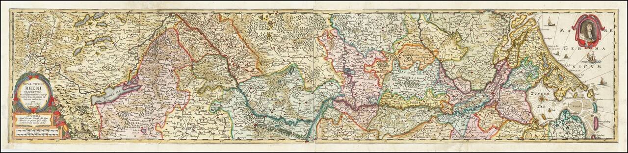
![[Course of the Rhine River] Nova Tractus Totius Rheni Oder Neue beschreibung des Rhein-Strom](/map/small/58670.jpg)