Map size in jpg-format: 55.0928MiB
Click to open in high resolution (open in new tab).
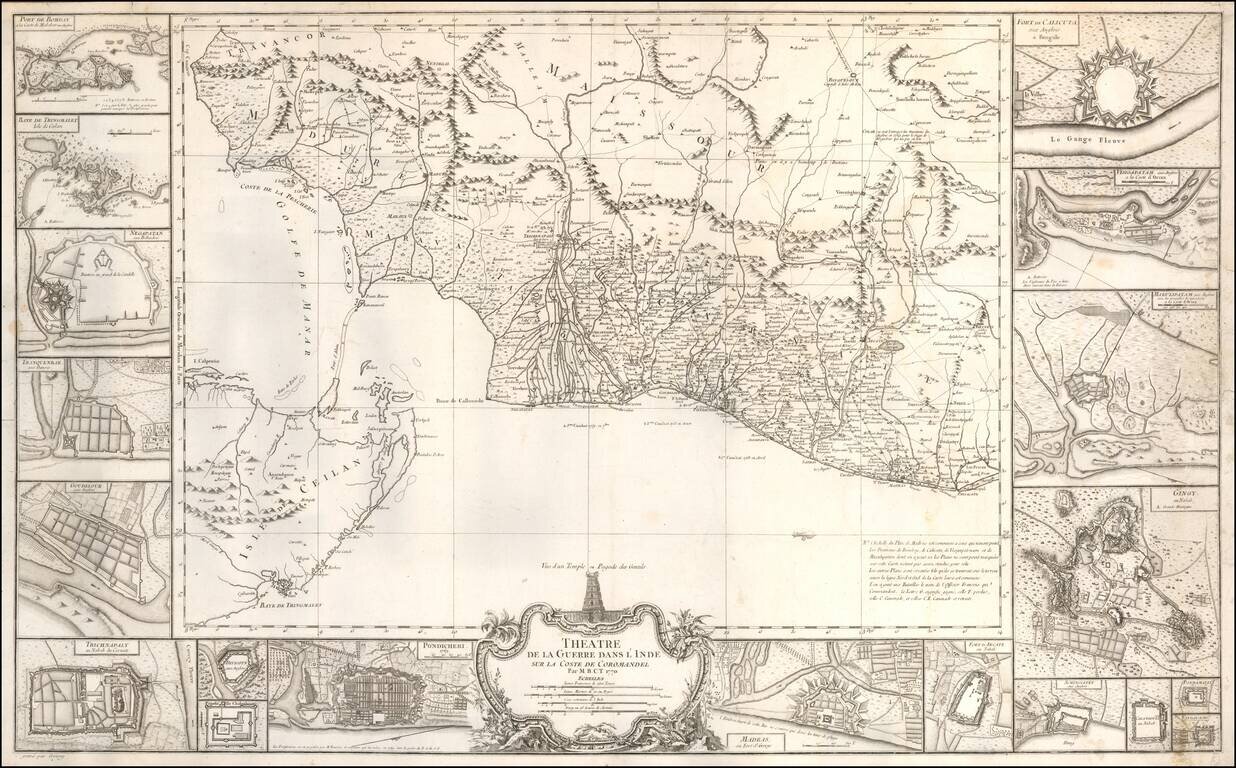
An Indian Theater of War Rarity
Very beautiful and large map showing the coast of Coromandel, south-east of India, engraved by Jean-Baptiste Croisey.
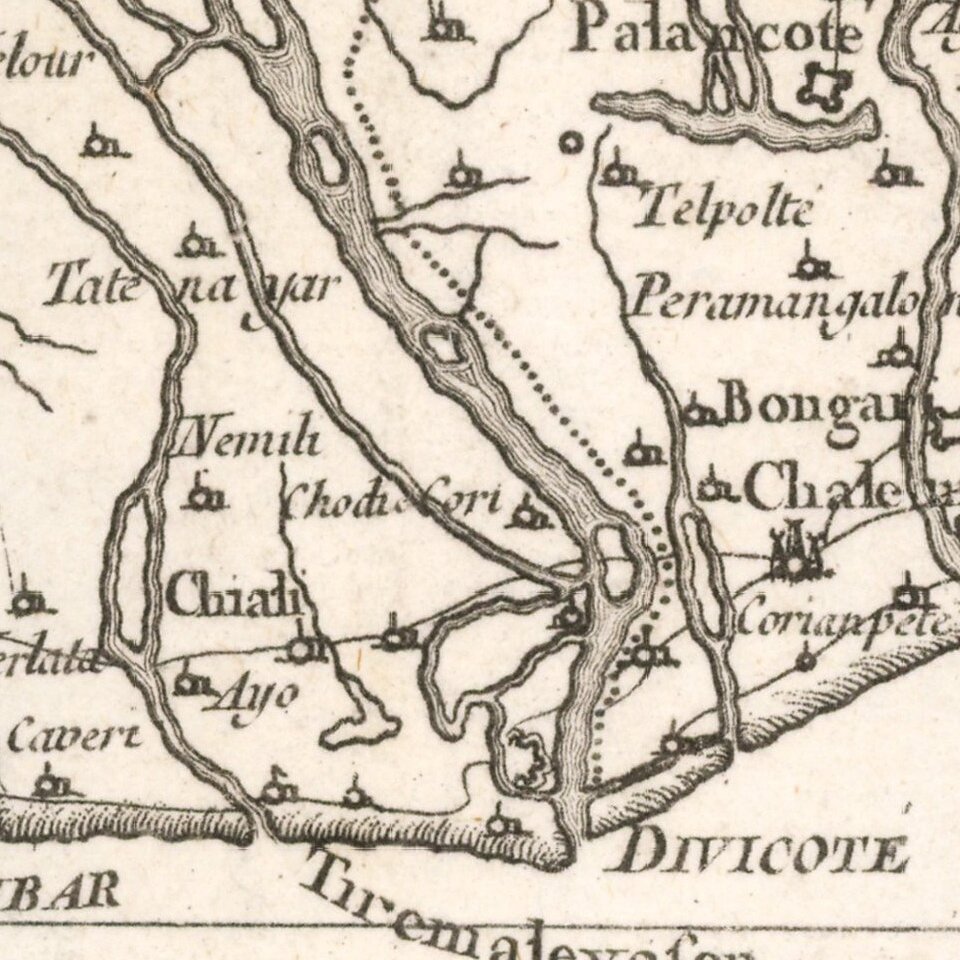
A fine large-scale map of the Indian coast from Madras to Cape Comorin, with east at the top, and including the northern part of Ceylon. The map includes major routes inland with indications of physical features and textual notes, and is surrounded by 19 plans of major forts and harbors, including Bombay, Tringmalet, Negapatan, Tranquenbar, Goudelour, Trichnapaly, Pondicheri, Madras, Arcate, Visigapatam, Calcuta, etc.with indications of their ruling affiliations, whether European or local Indian.
The map was created in 1770 by Jean-Pierre Bourcet, shortly after the end of the Seven Years' War, which pitted Great Britain against France on several continents and theaters of operations, between 1756 and 1763, including India. In India, the war was mainly on the coast of Coromandel, where the East India Company and the British East India Company had trading posts, mainly in Madras and Pondicherry.
Three battles are indicated at sea, while on land, the places where the battles were fought are indicated by a cross, with the name of the French officer who commanded, and a letter indicating the outcome of the battle: G for won, P for lost, C for canon, and CR for canon and retreat.
The name of Lally-Tollendal, governor general of French India, appears several times.
The map also illustrates the First Mysore War, involving Britain and France between 1767 and 1769.
Jean Bourcet was Chief Engineer of the fortifications of Pondicherry. He comes from the same family as Pierre-Joseph de Bourcet, military engineer who was commissioned in 1759 to set the border between the kingdom of France, the Duchy of Savoy and Piedmont.
If you are a student, write to us in telegram: @antiquemaps and indicate what material you need and for what work you need a map in high detail. We are ready to provide material on special terms. For students only!

![Il Disegno Della Terza Parte Dell' Asia [Gastaldi's Wall Map of SE Asia with extra panels!]](/map/small/30554hbp.jpg)
