Map size in jpg-format: 12.6683MiB
Click to open in high resolution (open in new tab).
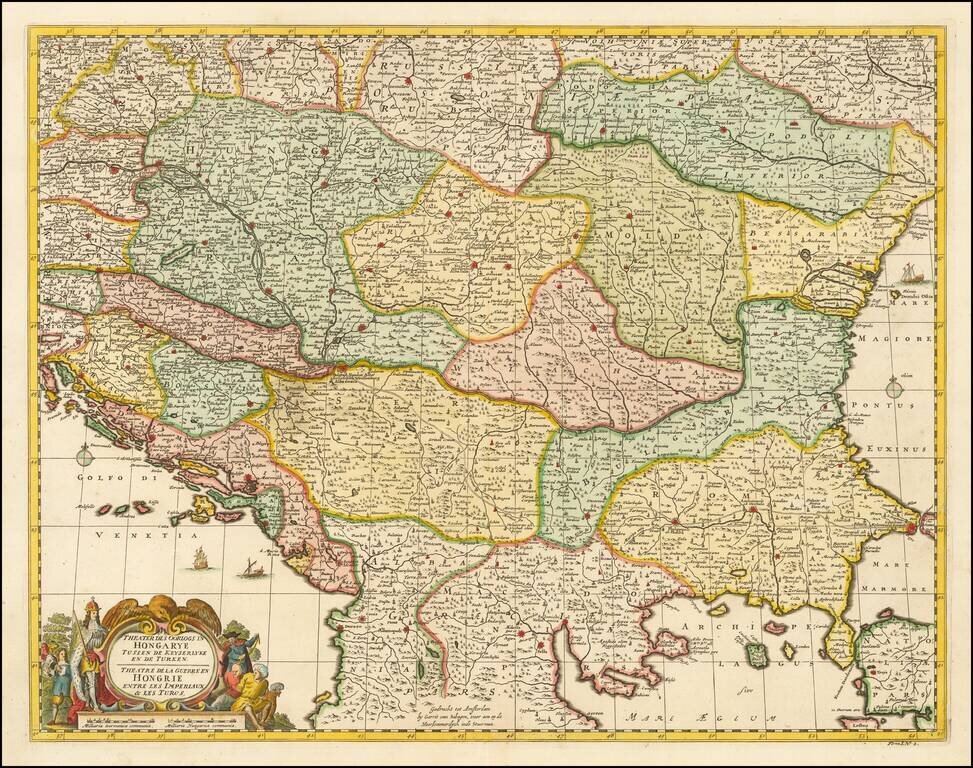
Gerrit van Schagen's hand-colored engraved map of the Balkans, showing Hungary, Romania, Bulgaria, Serbia, etc.
Attractive cartouche in the lower left.
If you are a student, write to us in telegram: @antiquemaps and indicate what material you need and for what work you need a map in high detail. We are ready to provide material on special terms. For students only!


