Map size in jpg-format: 104.532MiB
Click to open in high resolution (open in new tab).

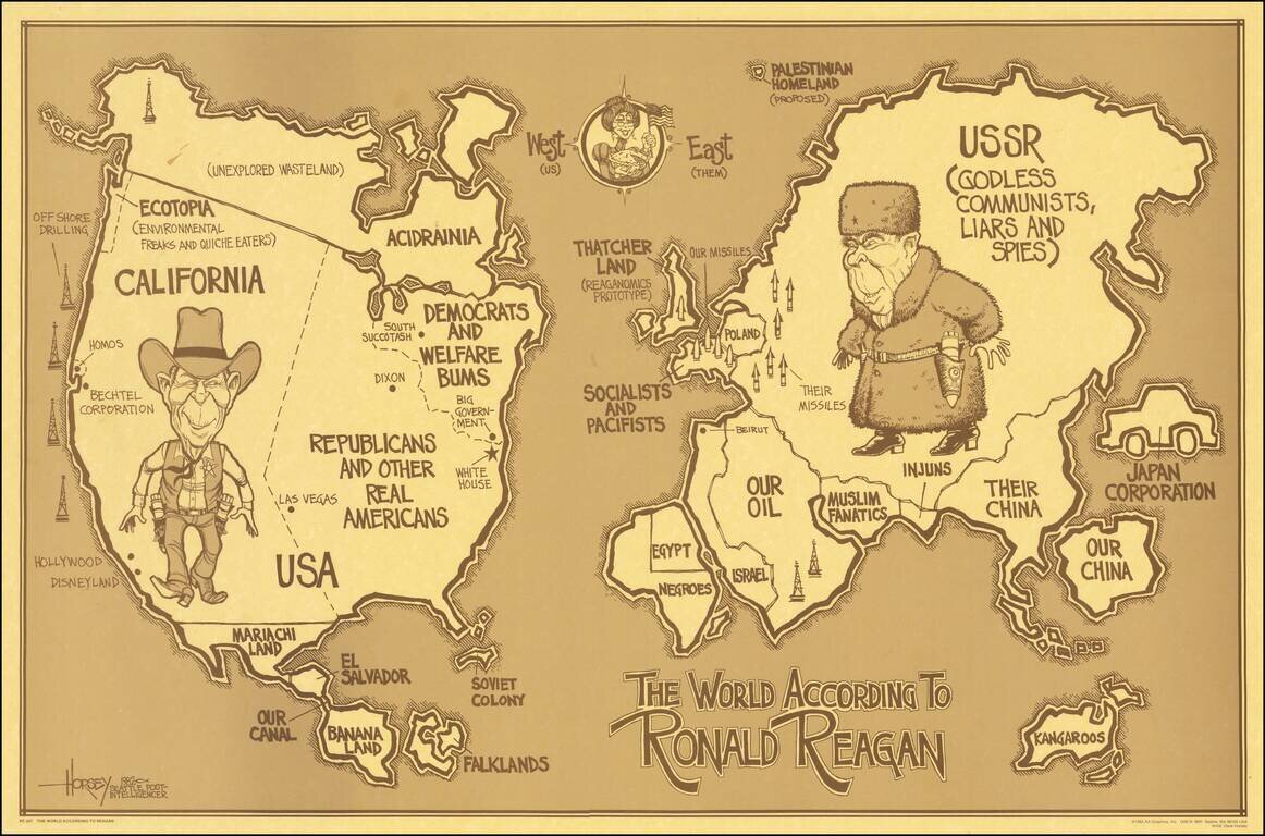
Lively political satire map, depicting the World According to Ronald Reagan.
This is the first of two Reagan's World maps, the second published in 1987, showing different political humor.
A classic look at satirical political humor from the 1980s.
David Horsey was an illustrator working for the Seattle Post Intelligencer. This was his first Reagan's World map, the second is illustrated here:
/gallery/enlarge/46892
If you are a student, write to us in telegram: @antiquemaps and indicate what material you need and for what work you need a map in high detail. We are ready to provide material on special terms. For students only!


