Map size in jpg-format: 13.9581MiB
Click to open in high resolution (open in new tab).
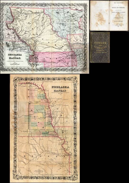
First edition of this fine early guide book to Kansas Territory and Nebraska Territory by Joseph F. Moffette, embellished with rare variant editions of two maps of Kansas and Nebraska, published by J.H. Colton & Company in New York.
Pocket guide book with two pocket maps. 84 page guide. 36 page advertising catalog of the maps, charts, books, etc. published by Colton.
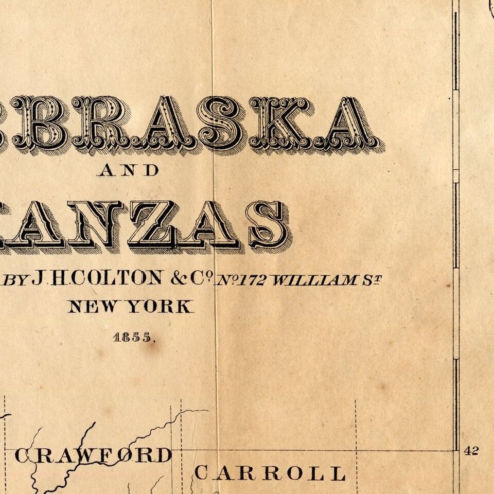
Two folding maps, both published by Colton. Tipped onto the inside front cover is a "Nebraska and Kanzas." This is the same map as found in his atlas of America, just printed on thinner paper. Tipped onto the back cover is another map titled "Nebraska and Kanzas" but in vertical format.
The second map is the precursor to a similarly formatted map of Nebraska and Kansas which began appearing in Colton's atlas circa 1858, but significantly pre-dates the atlas map, with fewer townships and earlier topographical details.
Moffette claims to have been part of the Stevens Expedition. Some of the information in the guidebook was secured from Peter Sarpy, one of the pioneer traders on the Upper Missouri.
If you are a student, write to us in telegram: @antiquemaps and indicate what material you need and for what work you need a map in high detail. We are ready to provide material on special terms. For students only!