Map size in jpg-format: 39.2981MiB
Click to open in high resolution (open in new tab).
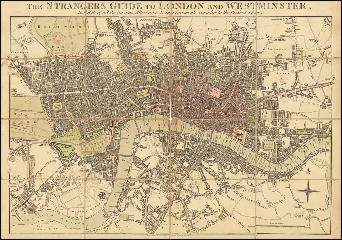
Unrecorded Early Edition of Mogg's Map of London.
Antique map of London issued by Edward Mogg in London in 1817.
Detailed plan of Georgian London, which at the time extended from Hyde Park to just east of the Tower of London. The City of London is differentiated from the surrounding metropolitan area by hand-coloring.
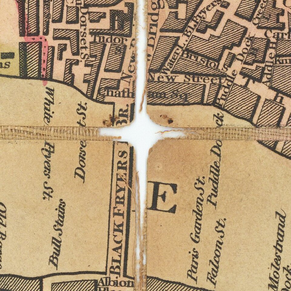
Streets are named and built-up blocks colored in.
If you are a student, write to us in telegram: @antiquemaps and indicate what material you need and for what work you need a map in high detail. We are ready to provide material on special terms. For students only!