Map size in jpg-format: 15.4725MiB
Click to open in high resolution (open in new tab).
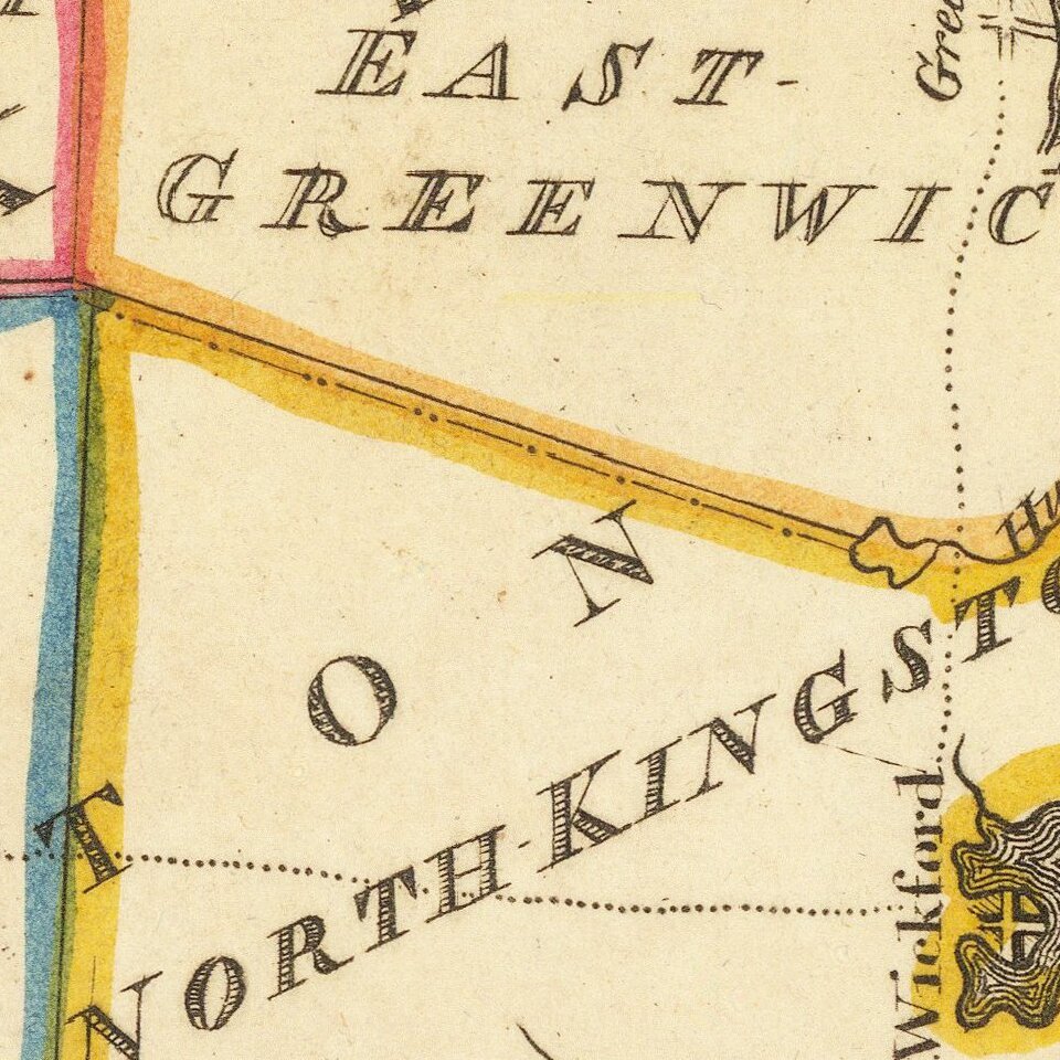
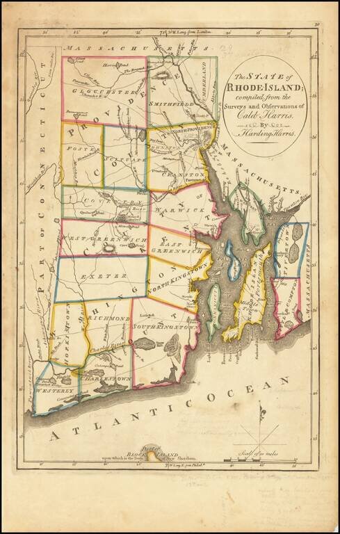
Important early map of Rhode Island, from Carey's American Atlas, one of the earliest separate maps of Rhode Island printed in the US.
Includes towns, travel routes, topographical detail and waterways shown. Carey published his American Atlas in 1795, which became the first folio atlas published in America.
He became the first American publisher to offer hand coloring.
If you are a student, write to us in telegram: @antiquemaps and indicate what material you need and for what work you need a map in high detail. We are ready to provide material on special terms. For students only!