Map size in jpg-format: 5.89418MiB
Click to open in high resolution (open in new tab).
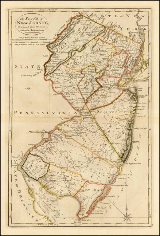
Fine Early Map of the State of New Jersey
Nice example of Mathew Carey's map of New Jersey, first published in Carey's General Atlas in 1814.
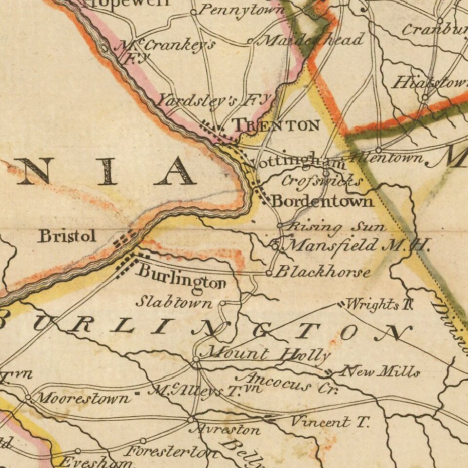
The map is exceptionally detailed for the period, being one of the earliest maps to show in detail the road system of New Jersey, along with early towns, rivers, mountains and other details.
Mathew Carey published the first atlas of American maps in 1795, compiling a number of excellent maps from indigenous sources.
Carey's map is one of the earliest obtainable separately published maps of New Jersey following the American Revolution. For example, it pre-dates Gordon's map of New Jersey, the first large format map of New Jersey, printed after the American Revolution, which was not published until 1828. The Gordon map is generally considered the most important map of New Jersey published in the 19th Century: /gallery/detail/26762
An essential map for New Jersey collectors.
If you are a student, write to us in telegram: @antiquemaps and indicate what material you need and for what work you need a map in high detail. We are ready to provide material on special terms. For students only!
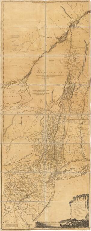
![(American Revolution) [Manuscript Map of New York City and Northern New Jersey]](/map/small/69609.jpg)