Map size in jpg-format: 45.4694MiB
Click to open in high resolution (open in new tab).
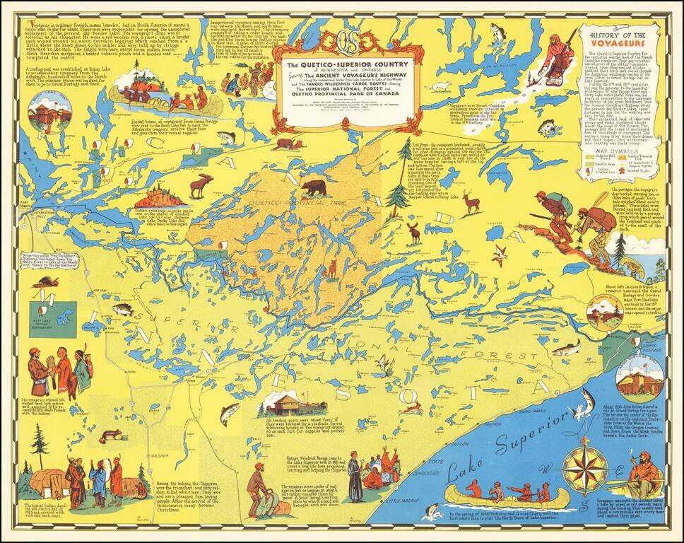
"Voyageur, in ordinary French, means 'traveler', but in North America it meant a canoe-man in the fur trade."
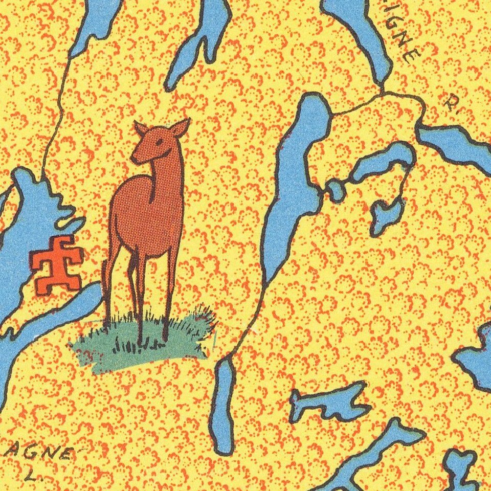
Nice pictorial map of Minnesota's "Arrowhead" and Boundary Waters regions.
The map focuses on the history of the French-Canadian Voyageurs who explored the region and actively traded with the local Native American tribes. The map includes many vignettes and expository notes on the subject of the Voyageurs.
If you are a student, write to us in telegram: @antiquemaps and indicate what material you need and for what work you need a map in high detail. We are ready to provide material on special terms. For students only!