Map size in jpg-format: 2.89097MiB
Click to open in high resolution (open in new tab).
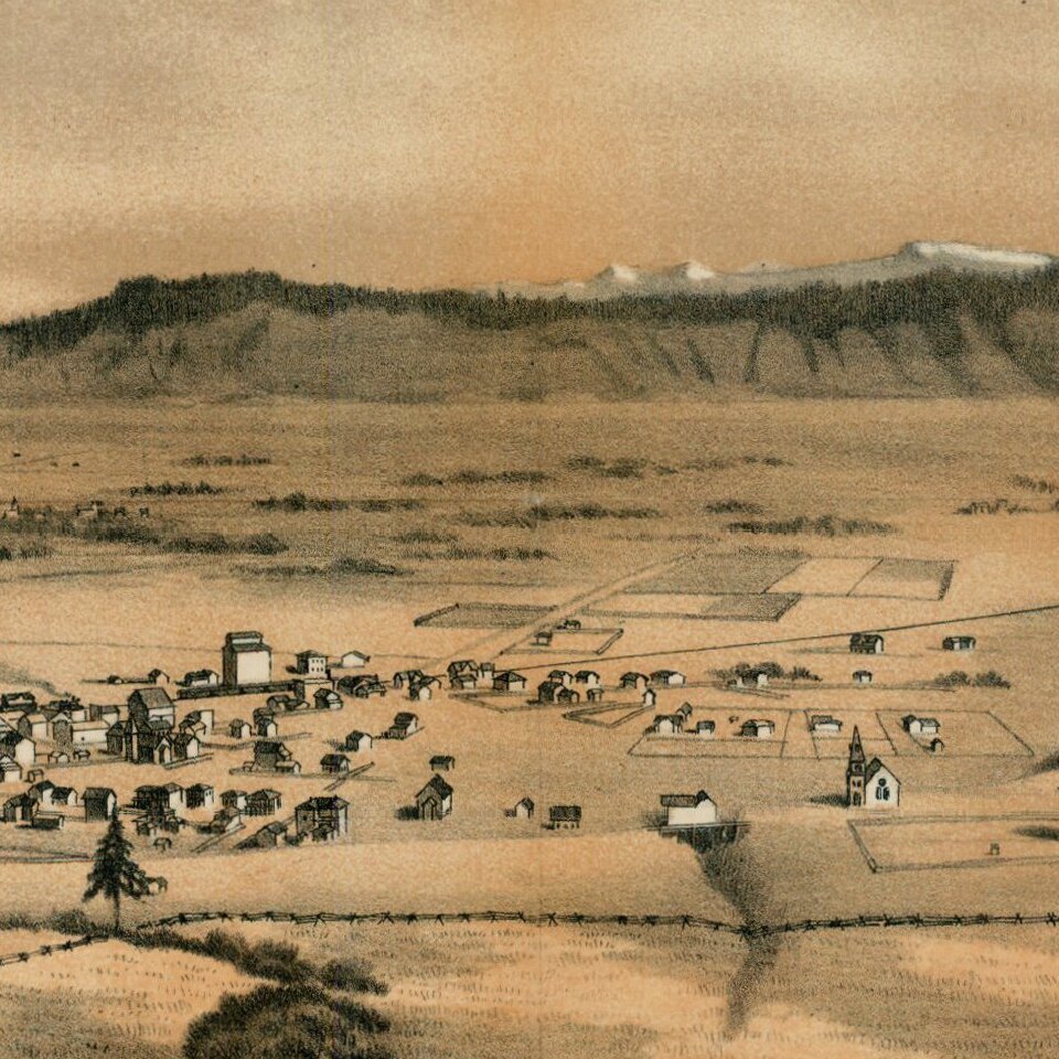
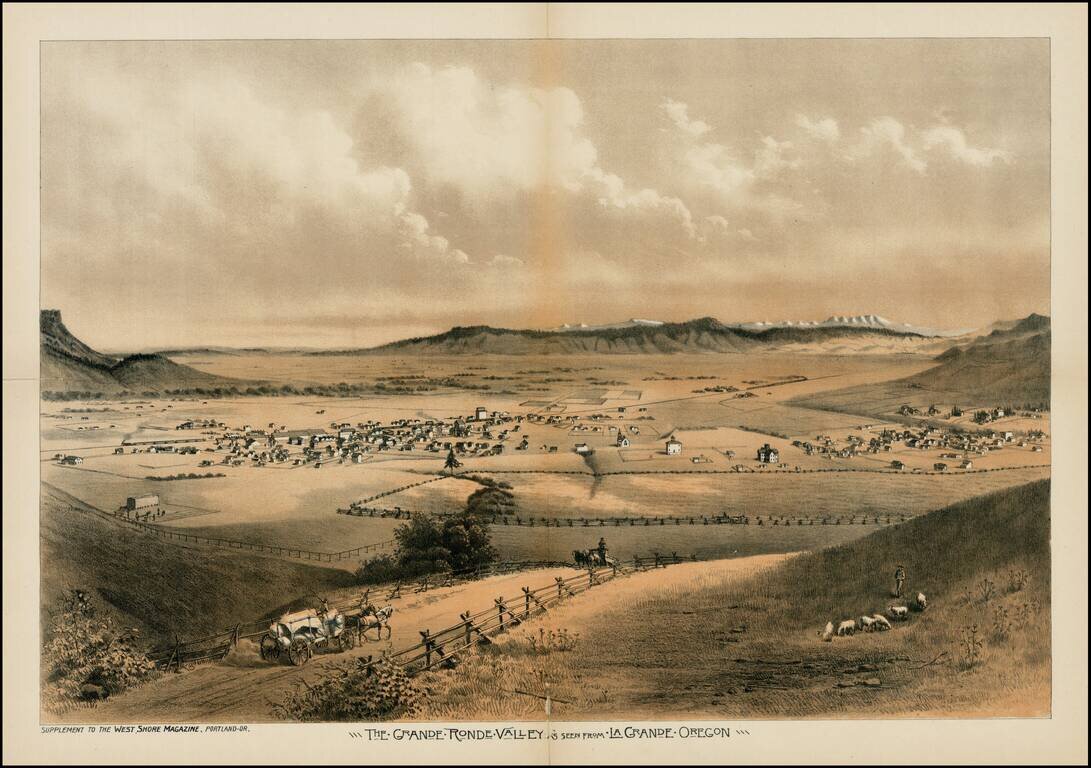
Fine early view of the Le Grande Ronde Valley, in Oregon, from West Shore Magazine.
The Astor Expedition passed through the Le Grande Valley in 1811. Thereafter, it became a waypoint along the Oregon Trail. Since the 1840s, settlers headed toward the Willamette Valley would pass through the Valley.
The first permanent settlement in the Grande Ronde Valley was not established until 1861, when Benjamin Brown, an Englishman who had originally settled in Michigan first located in the area. Not long after, the Leasey family and about 20 others settled there. Serving as a travelers inn, the settlement was originally named Brown's Fort, and then Browns Town or Brownsville. Since there was already a Brownsville in Linn County, the name was changed to La Grande.
In 1862, Conrad Miller settled the opposite side of the valley. This settlement grew into the city of Union, the second largest community in the Grande Ronde Valley. Island City, Cove, and Summerville were not far behind. Many factors contributed to the growth of the valley. Some of these were the continuing presence of emigrants from the Oregon Trail, and the discovery of gold mines in the surrounding area, including at Baker in 1861 and the Powder River Mines in 1862, 1920 and 1931. The influence of the Mormons in the area was limited, as all profits were sent to Utah, rather than staying with local businessmen.
If you are a student, write to us in telegram: @antiquemaps and indicate what material you need and for what work you need a map in high detail. We are ready to provide material on special terms. For students only!