Map size in jpg-format: 7.24327MiB
Click to open in high resolution (open in new tab).
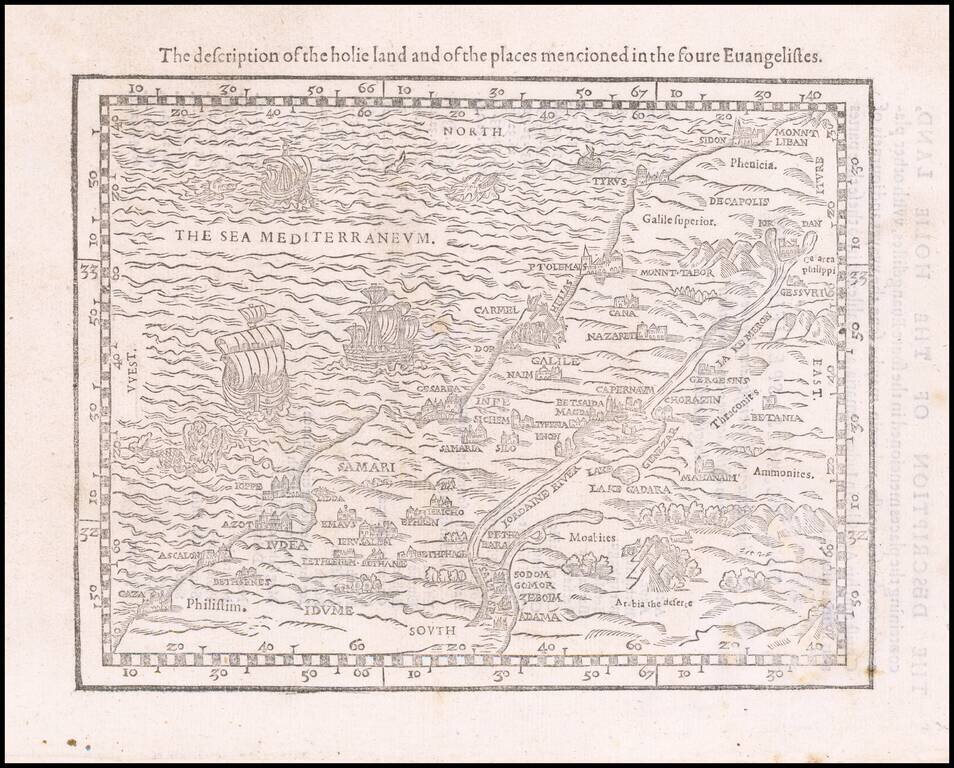
Rare early map of the Holy Land, one of the earliest printed maps of the Holy Land in English.
The map covers the Levant from Gaza north to Sidon. From an English language Bible, the woodblock shows major locations with numerous vignette illustrations of towns, mountains and forests and, at sea, ships and sea monsters.
If you are a student, write to us in telegram: @antiquemaps and indicate what material you need and for what work you need a map in high detail. We are ready to provide material on special terms. For students only!


![[Early Montanus World Map in Volume Eight of the Plantin Polyglot Bible]](/map/small/53766.jpg)