Map size in jpg-format: 81.637MiB
Click to open in high resolution (open in new tab).
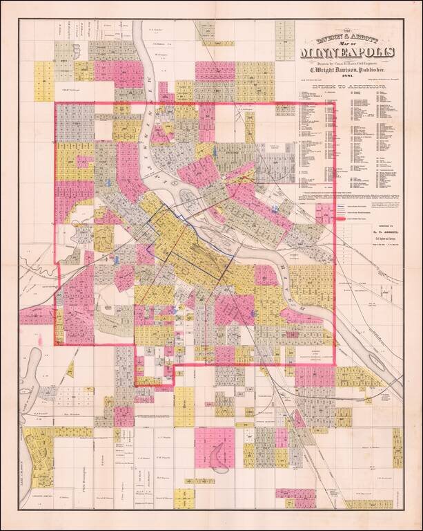
Detailed, locally-published antique map of Minneapolis, lithographed by Johnson, Smith & Harrison in Minneapolis in 1881.
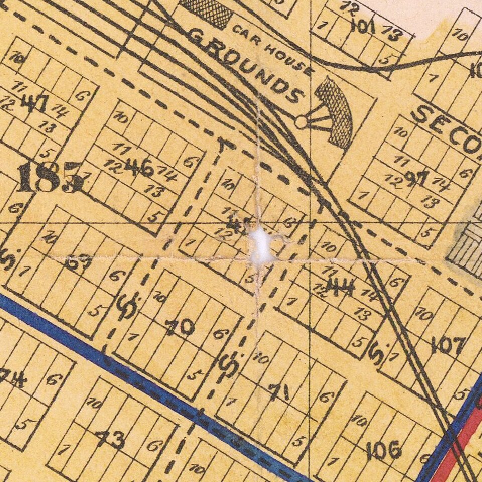
Three types of boundaries are shown on the map: Fire Limits, Ward Boundaries, and City Limits. Wards are identified with blue-stenciled numbers.
The map is focused on the built-up portions of the city as of 1881, it goes as far south and west and Lake Calhoun and shows the early campus of the University of Minnesota on the east bank of the Mississippi.
Subdivisions and Additions are identified in a separate key, with 281 listed in total.
The map was compiled by E.T. Abbott, Civil Engineer and Surveyor.
Easily the best Minneapolis map that we have encountered in years.
If you are a student, write to us in telegram: @antiquemaps and indicate what material you need and for what work you need a map in high detail. We are ready to provide material on special terms. For students only!