Map size in jpg-format: 5.9496MiB
Click to open in high resolution (open in new tab).
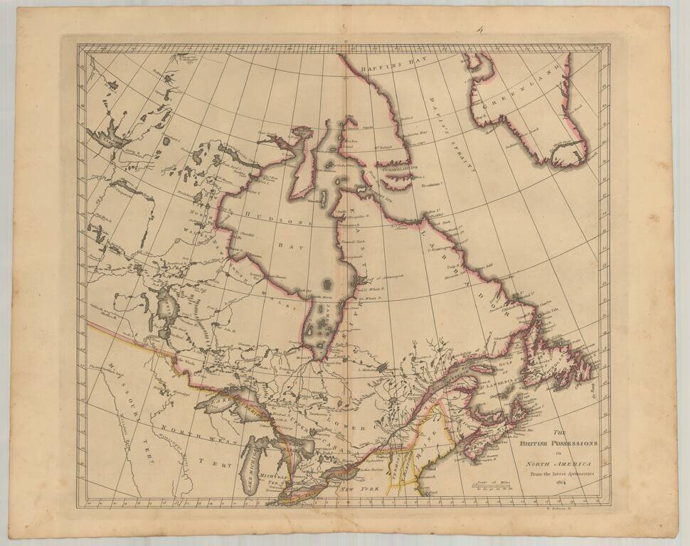
Early American published map of Canada, New England, the Great Lakes and Old Northwest Territory, from a late edition of Carey's General Atlas.
Extends North to Baffin's Bay and the Sea as Seen By Hearne in 1771, West to Slave Lake, Buffalo Lake, Ft. Chepawyan and the most northern
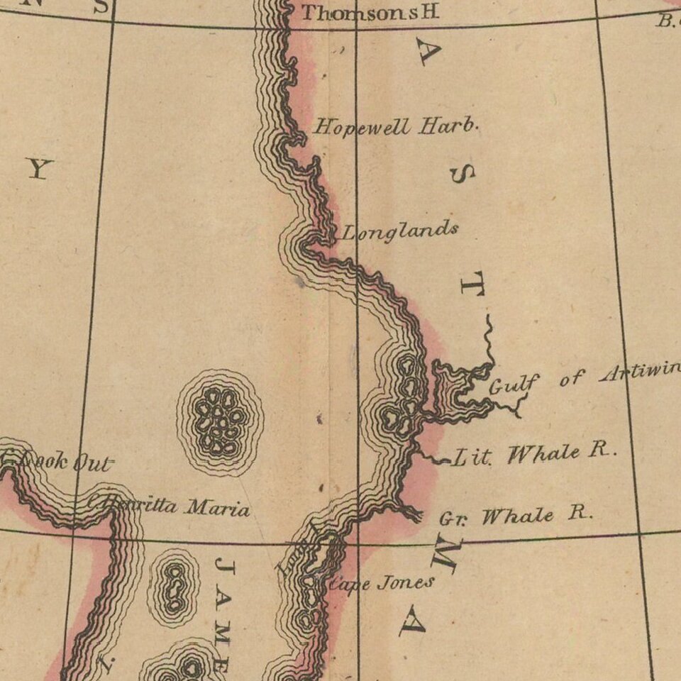
bend of the Missouri River. Excellent detail in the watershed feeding Lake Winnepeg and between the Great Lakes and James Bay.
The Northwest Territory, Michigan Territory and Missouri Territory are named, with Detroit, Brownstown, Sandwich and Malden shown.
In Lower Canada, the Six Nations are shown, along with other Indian information.
Illustrates the still naïve engraving style of American mapmakers in the early 19th Century.
If you are a student, write to us in telegram: @antiquemaps and indicate what material you need and for what work you need a map in high detail. We are ready to provide material on special terms. For students only!
![[The First Maps in a la poupée Printed Color] Cartes en Couleur des Lieux Sujets aux tremblements de Terre Dans toutes les parties du Monde Selon le Sisteme de l’impulsion Solaire](/map/small/52293op.jpg)

