logo

1855. Texas

  • Texas

Map size in jpg-format: 11.1196MiB

Download "Texas", in high resolution.

Texas information:

Year of creation: 
Resolution size (pixels): 
 6680x5251 px
Disk Size: 
 11.1196MiB
Number of pages: 
 1
Place: 
 New York
Author: 

Print information. Print size (Width x height in inches):
Printing at 72 dpi 
  92.78 х 72.93
Printing at 150 dpi 
 44.53 х 35.01
Printing at 300 dpi 
 22.27 х 17.5

An example of detailing the file of this map of in a printable high-resolution:

Click to open in high resolution (open in new tab).
Attention! this is just the central piece (central area 960x960 px) of the map file!
This is an example, so that you can see and study the level of detail of a given map. The entire Map will be fully available after payment!

Texas

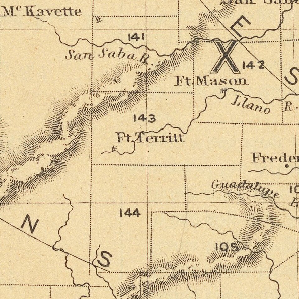
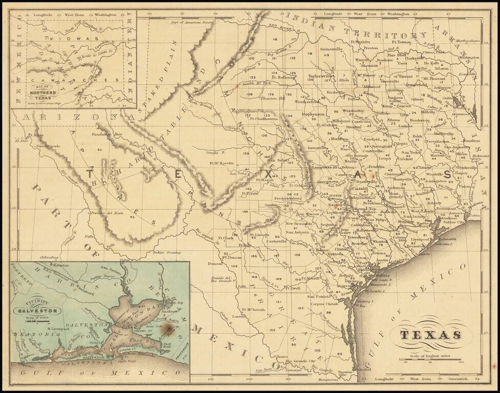
Detailed map of Texas, published in McNally's School Geography.

Dallas is shown on the map.

Most of the western counties are still not formed.


Special conditions for students!

If you are a student, write to us in telegram: @antiquemaps and indicate what material you need and for what work you need a map in high detail. We are ready to provide material on special terms. For students only!

Item information:

Year of creation:
Size:
6680x5251 px
Disk:
11.1196MiB
Number of pages:
1
Place:
New York
Author:
William McNally.
$14.99

Related item