Map size in jpg-format: 32.9199MiB
Click to open in high resolution (open in new tab).
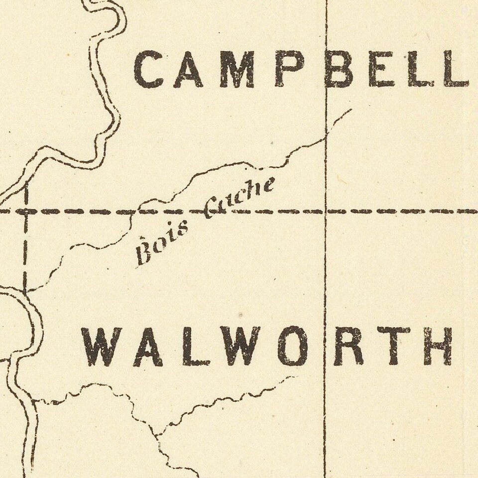
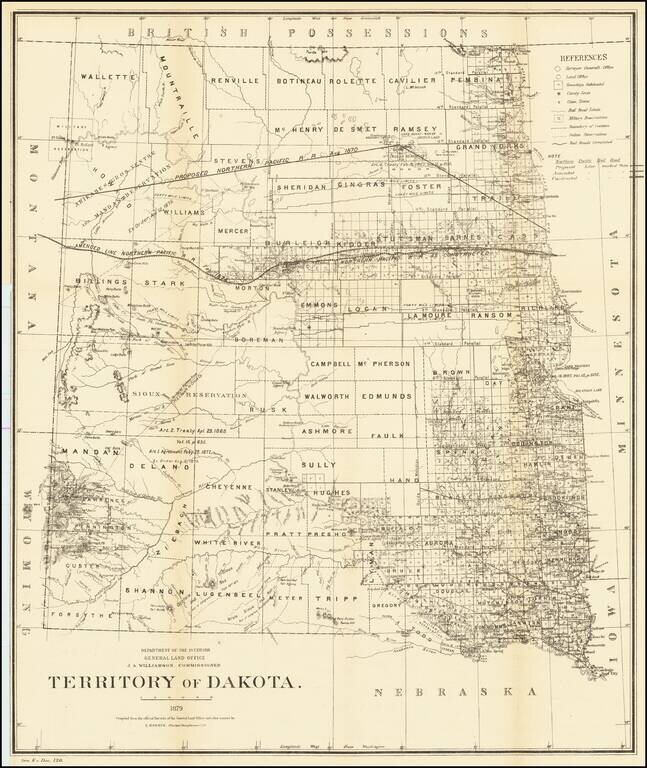
Detailed map of Dakota Territory, prepared by the General Land Office.
The map shows early evidence of the township surveys in the west. The dates and details of the creation of a number of Indian Reservations are shown, including:
The original proposed route of the Northen Pacific is shown,along with the actual line constructed and the 40 and 50 miles limits on either side of the line.
Several other early railroad lines are shown.
The General Land Office (GLO) refers to the independent agency in the United States that was in charge of public domain lands. Created in 1812, it assumed the responsibilities for public domain lands from the United States Department of the Treasury. The Treasury had overseen the survey of the Northwest Territory, but as more area was added to the United States, a new agency was necessary to survey the new lands.
Eventually, the GLO would be responsible for the surveying, platting, and sale of the majority of the land west of the Mississippi, with the exception of Texas. When the Secretary of the Interior was created in 1849, the GLO was placed under its authority. Until the creation of the Forest Service in 1905, the GLO also managed forest lands that had been removed from public domain. In additional to managing the fees and sales of land, the GLO produced maps and plans of the areas and plots they surveyed. In 1946, the GLO merged with the United States Grazing Service to become the Bureau of Land Management.
If you are a student, write to us in telegram: @antiquemaps and indicate what material you need and for what work you need a map in high detail. We are ready to provide material on special terms. For students only!