Map size in jpg-format: 676084B
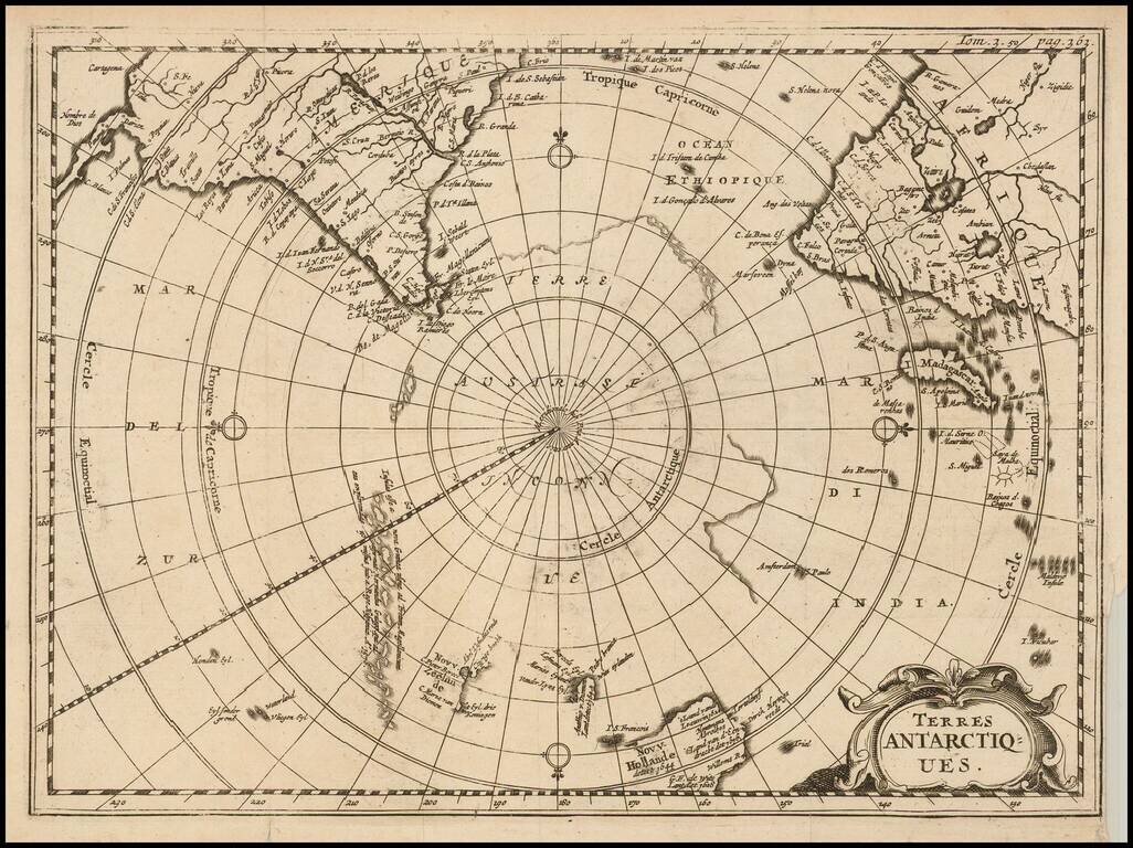
Rare map of the Southern Hemisphere, illustrating the known and imagined lands of the Antipodes.
The map provides a fine accounting of the lands of the South Polar regions, some of which were fictional.
The map includes outlines of Antarctic continent as well as showing the Dutch discoveries in Australia and New Zealand.
The first time we have seen this map on the market.
If you are a student, write to us in telegram: @antiquemaps and indicate what material you need and for what work you need a map in high detail. We are ready to provide material on special terms. For students only!
![[Eastern Hemisphere Globe Gores] (Nova et integra universi Orbis descriptio)](/map/small/54480.jpg)

