Map size in jpg-format: 25.0816MiB
Click to open in high resolution (open in new tab).
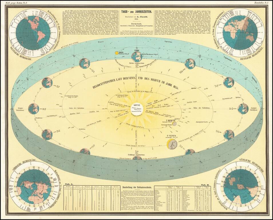
This is a great antique German celestial chart explaining the changing of the seasons. Showing a plethora of information, this work is ingeniously designed and presented.
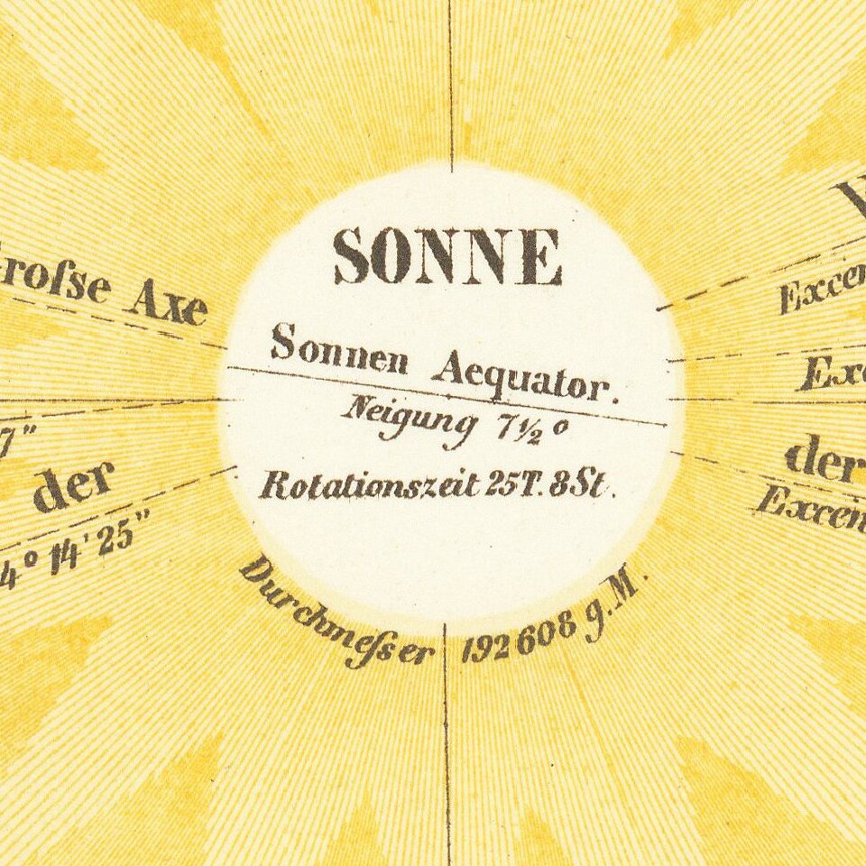
The central chart shows the solar system within the Earth's orbit. Information is provided about several celestial objects, and a star chart wraps around the map which shows many constellations, including the signs of the zodiac, in their ecliptic positions. Four maps of the earth surround the central view, depicting how the sun shines on the earth in summer. Abundant text further describes the issues touched upon in the text. In all, this is a marvelous work of data visualization.
Bauerkeller's works employed a unique printing process that combines letterpress, color lithography, and metal plate printing. His work is quite unique and enjoys an unusual visual appeal. Outside of this, relatively little is known about the artist. His other innovations were a type of relief printing for city maps called "geomontographie." In these maps, city blocks with buildings are raised in white, while streets, squares, parks and rivers are printed in colors. This process would be adapted for teaching the blind.
If you are a student, write to us in telegram: @antiquemaps and indicate what material you need and for what work you need a map in high detail. We are ready to provide material on special terms. For students only!