logo

1951. Street Map of the City Pasadena California and Vicinity

  • Street Map of the City Pasadena California and Vicinity
  • Street Map of the City Pasadena California and Vicinity

Street Map of the City Pasadena California and Vicinity information:

Year of creation: 
Resolution size (pixels): 
 11318x15163 px
Disk Size: 
 50.0727MiB
Number of pages: 
 2
Place: 
 Pasadena
Author: 

Print information. Print size (Width x height in inches):
Printing at 72 dpi 
  157.19 х 210.6
Printing at 150 dpi 
 75.45 х 101.09
Printing at 300 dpi 
 37.73 х 50.54

An example of detailing the file of this map of in a printable high-resolution:

Click to open in high resolution (open in new tab).
Attention! this is just the central piece (central area 960x960 px) of the map file!
This is an example, so that you can see and study the level of detail of a given map. The entire Map will be fully available after payment!

Street Map of the City Pasadena California and Vicinity

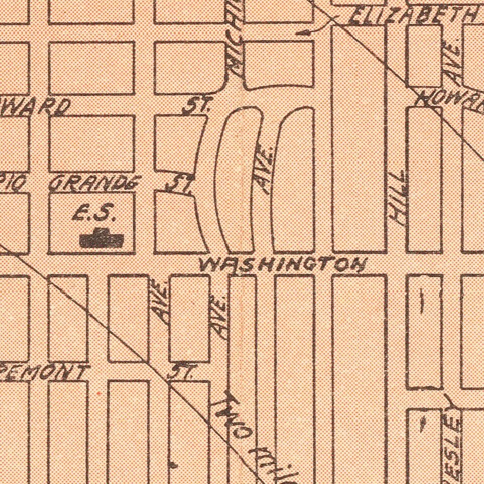
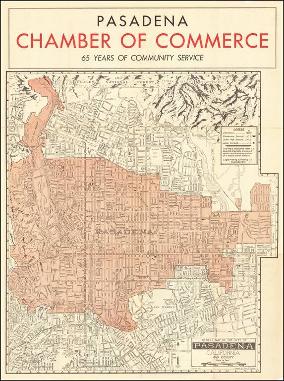
Striking map of the area around Pasadena, including a pictorial representation of the Sierra Madre Mountains and Angeles National in the north.

The map is produced by the Pasadena Chamber of Commerce and focuses on the location of local schools in the upper right corner.

Index and photographs on the map verso.


Special conditions for students!

If you are a student, write to us in telegram: @antiquemaps and indicate what material you need and for what work you need a map in high detail. We are ready to provide material on special terms. For students only!

Item information:

Year of creation:
Size:
11318x15163 px
Disk:
50.0727MiB
Number of pages:
2
Place:
Pasadena
Author:
John L. Lynde.
$14.99

Related item