Map size in jpg-format: 69.7245MiB
Click to open in high resolution (open in new tab).
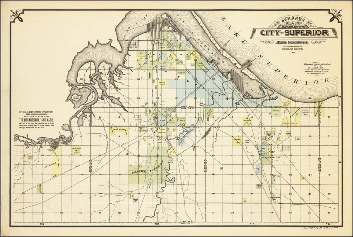
Rare separately issued map of the City of Superior, Wisconsin, published during Superior's second boom period (1888 to 1892).
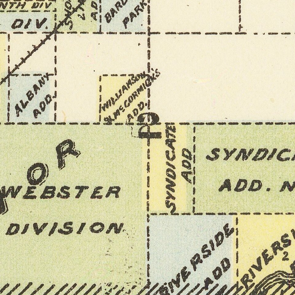
Shows railroads, railroad yards, main roads, additions, and selected buildings in Superior and parts of the Towns of Superior, Parkland, and Lakeside.
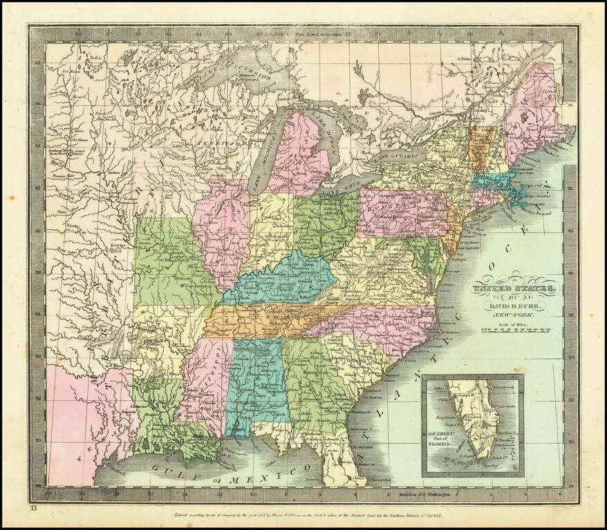
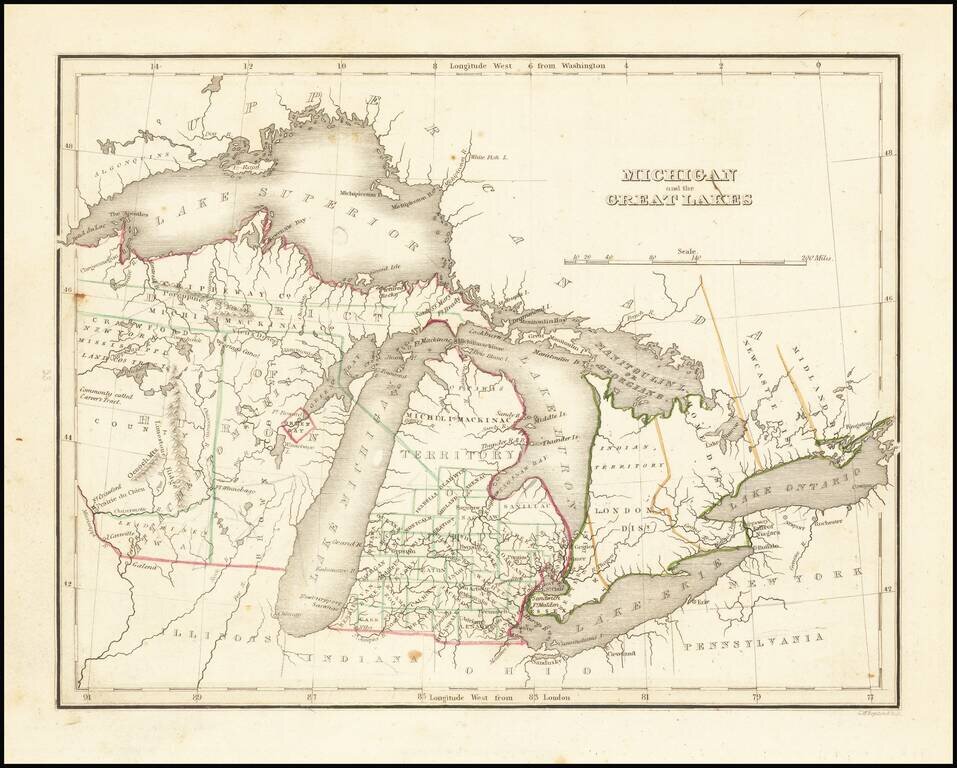
In the nineteenth century, spurred by the prospect of lucrative shipping on the Great Lakes and exploitation of the iron ore industry, businessmen from Chicago and St. Paul, Minnesota laid claim to the site which became the city of Superior.
The first log cabin in Superior was erected in September 1853 on the banks of the Nemadji River, at the same time that ground was broken for construction of the locks and ship canal at Sault Ste. Marie, Michigan. This was intended to allow ships to bypass the rapids at that site. Superior was incorporated as a city on September 6, 1854. Around the same time Superior became the seat of newly formed Douglas County. While initially settlers moved to the new town, the Panic of 1857 saw the population fall from 2500 to 500.
In 1882, the Northern Pacific Railway and other rail lines finally arrived, fulfilling the dream of a rail and water highway from coast to coast. In 1883, General John H. Hammond formed the Land and River Improvement Company, which developed much of West Superior, including the West Superior Iron and Steel plant. Numerous grain, coal and lumber businesses formed in the same period.
In the boom period from 1888 to 1892, Land and River Improvement and others built impressive architect-designed business blocks on Tower Avenue, seeing Superior as the "new Chicago." By 1892, population was 34,000.
Rarity
The map is very rare. OCLC locates only the copy in the Wisconsin Historical Society.
If you are a student, write to us in telegram: @antiquemaps and indicate what material you need and for what work you need a map in high detail. We are ready to provide material on special terms. For students only!