Map size in jpg-format: 18.7942MiB
Click to open in high resolution (open in new tab).
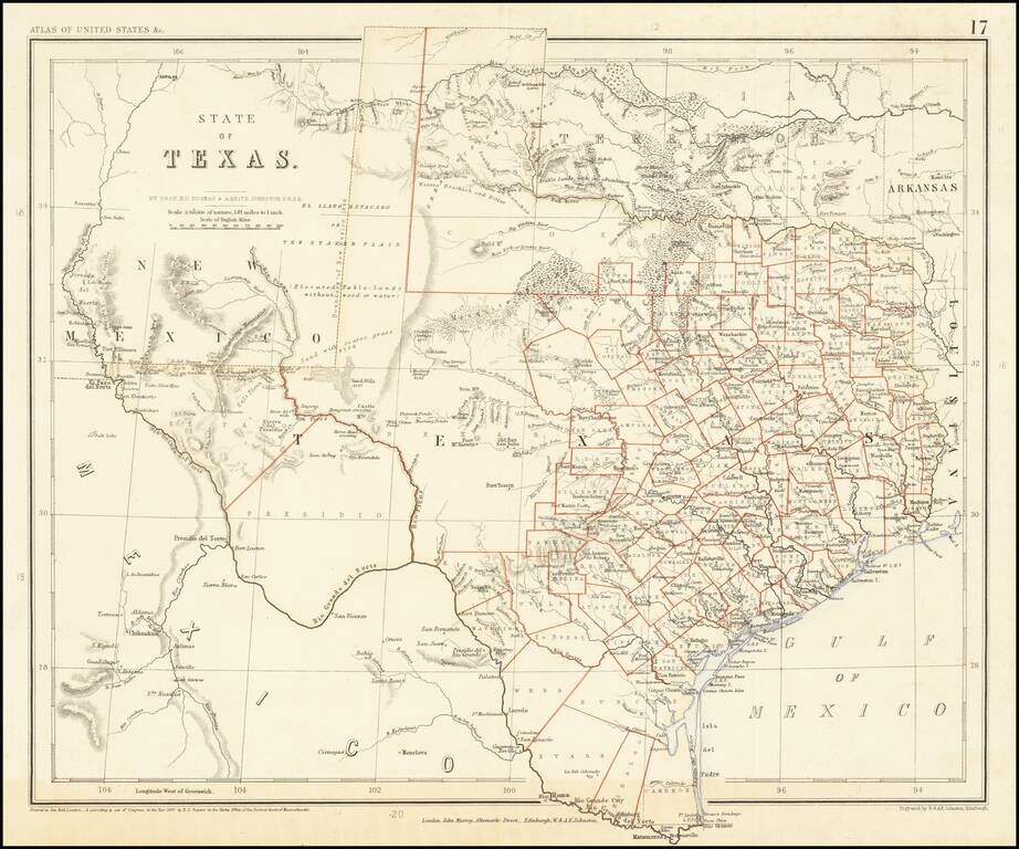
A Texas Rarity
One of the rarest English Language maps of Texas to appear in a commercial Atlas.
Rogers & Johnstons' map of Texas appeared in the extremely rare Atlas of the United States. The map was derived from the monumental and equally rare wall map, an historic collaboration between Professor Rogers, an American, and the Johnston publishing house in Britain.
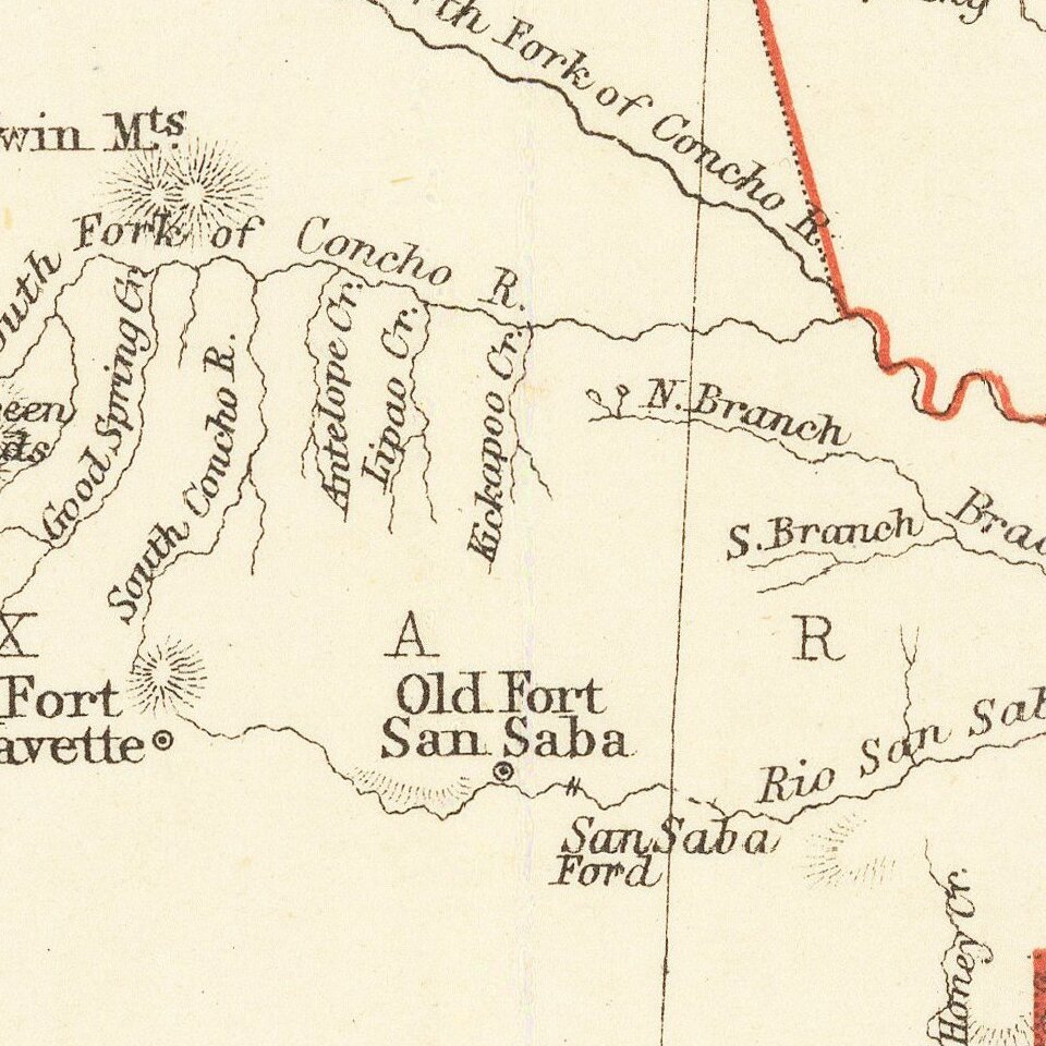
The map is colored by counties and shows a number of interesting details, especially in the west, including early forts, ponds, emigrant's crossings, and other details. Only one example of this map has appeared in a dealer catalogue in the past 30 years (Ricard Fitch, 1984).
A fine example of this rare early map of the State of Texas.
If you are a student, write to us in telegram: @antiquemaps and indicate what material you need and for what work you need a map in high detail. We are ready to provide material on special terms. For students only!


